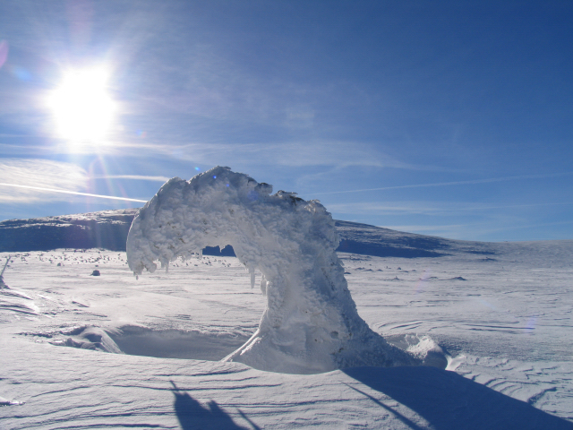


Portillo Re-Opens To Guests Arriving By Helicopter
Chile’s famous Portillo ski resort is reported to have re-opened to guests arriving by helicopter after being cut off by road for more than two weeks by over 6m/20 feet of snowfall.

Next 3 days weather summary:Lluvia moderada (totál 12.0mm), más pesada el miércoles por la noche. Cálido (max 30°C el martes por la tarde, min 19°C el lunes por la mañana). El viento será generalmente ligero. | Días 4-6 Resúmen del Tiempo para ZieleniecFuerte lluvia (totál 25.0mm), más pesada durante la noche de jueves. Cálido (max 25°C el jueves por la tarde, min 11°C el viernes por la noche). El viento será generalmente ligero. | |||||||||||||||||
lunes 3 | martes 4 | miércoles 5 | jueves 6 | viernes 7 | sábado 8 | |||||||||||||
mañana | tarde | noche | mañana | tarde | noche | mañana | tarde | noche | mañana | tarde | noche | mañana | tarde | noche | mañana | tarde | noche | |
claro | claro | semi nublado | claro | claro | claro | claro | semi nublado | chuba scos | chuba scos | riesgo truenos | chuba scos | lluvia mod. | semi nublado | claro | claro | semi nublado | claro | |
km/h | ||||||||||||||||||
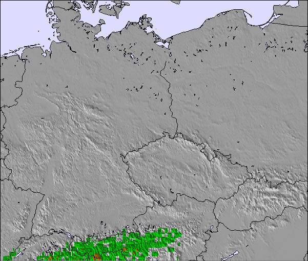
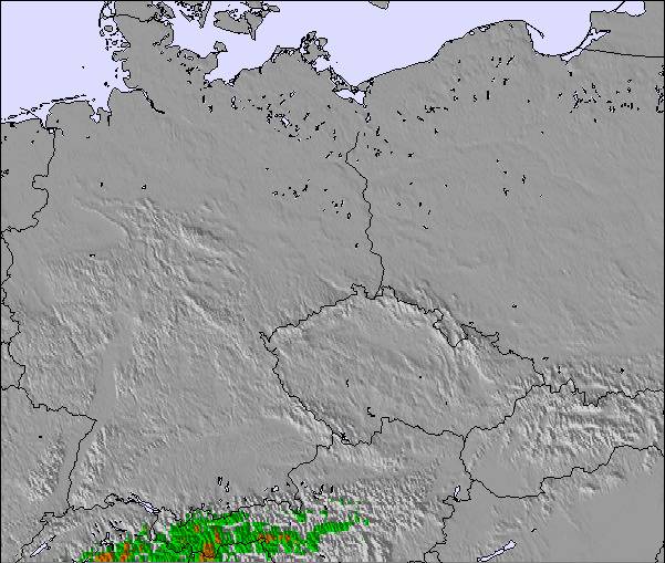
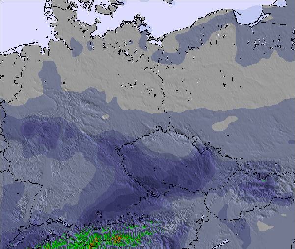
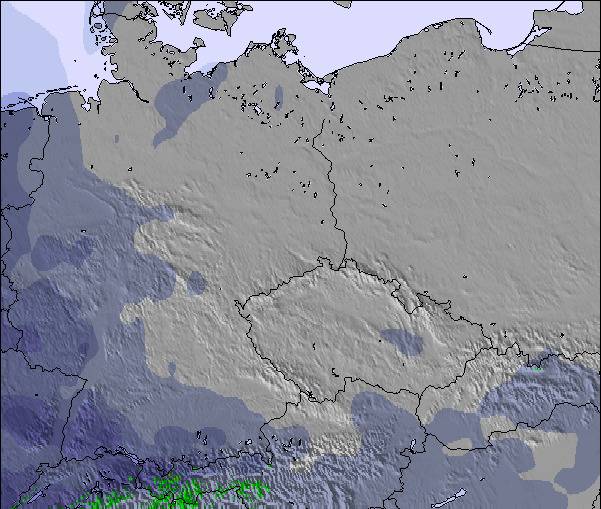
Mapa de Nieve | 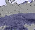 | 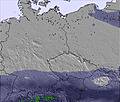 | 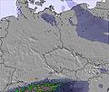 | 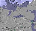 | 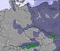 | 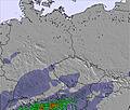 | ||||||||||||
— | — | — | — | — | — | — | — | — | — | — | — | — | — | — | — | — | — | |
mm | — | — | — | — | — | — | — | — | 12 | 1 | 1 | 15 | 8 | — | — | — | — | — |
max °C | 23 | 28 | 24 | 28 | 30 | 26 | 27 | 29 | 23 | 24 | 25 | 21 | 15 | 19 | 15 | 17 | 19 | 15 |
min °C | 19 | 26 | 20 | 24 | 30 | 22 | 24 | 29 | 19 | 21 | 24 | 15 | 13 | 18 | 11 | 14 | 18 | 13 |
chill °C | 19 | 26 | 20 | 24 | 30 | 22 | 24 | 29 | 19 | 21 | 24 | 14 | 11 | 18 | 10 | 14 | 18 | 13 |
Humed. % | 59 | 41 | 55 | 42 | 25 | 31 | 40 | 44 | 62 | 58 | 60 | 83 | 67 | 56 | 58 | 62 | 56 | 60 |
Altura de Hielo m | 4300 | 4300 | 4350 | 4450 | 4500 | 4550 | 4500 | 4450 | 4550 | 4300 | 4400 | 4250 | 3800 | 3850 | 3350 | 3450 | 3750 | 3700 |
5:24 | — | — | 5:24 | — | — | 5:26 | — | — | 5:28 | — | — | 5:30 | — | — | 5:31 | — | — | |
— | — | 8:35 | — | — | 8:34 | — | — | 8:31 | — | — | 8:30 | — | — | 8:29 | — | — | 8:27 | |
Hazte pro y carve en:
Información de avalanchas: European Avalanche Warning Services (EAWS)
Ultimo parte de nieve cerca Zieleniec:
| Profundidad de nieve arriba: | 0 cm |
|---|---|
| Profundidad de nieve abajo: | 0 cm |
| Profundidad de la nevada fresca: | — |
| Última nevada: | 11 May 2026 |
0.0 | Dias de Nieve en Polvo Nieve fresca, mayormente soleado, viento suave. |
|---|---|
0.0 | Dias de nieve en polvo Nieve fresca, sol limitado, sin viento. |
0.0 | Dia perfecto para esquiar Nieve promedio, mayormente soleado, viento suave. |
La tabla anterior muestra el pronóstico de tiempo para Zieleniec en la altitud específica de 850 m. Nuestros modelos meteorológicos sofisticados permiten prever pronósticos para la cumbre, la mitad y la base de Zieleniec. Para aceder a los pronósticos de tiempo a otras alturas, pinche en la navegación en la parte superior de la tabla. Para una visión general, consulte el Mapa meteorológico de Poland.
Pinche aquí para más información sobre niveles de congelación y sobre cómo pronosticamos las temperaturas.
Generalmente 2.5 En base a 10 votos y 3 comentarios
not much for when it comes to variety buuut they have nice snowpark and its where the polish freestyle sking champs are held each year all in all ,nothing special
mike de Poland escribe:
not much for when it comes to variety buuut they have nice snowpark and its where the polish freestyle sking champs are held each year all in all ,nothing special
Lea 2 otras críticas de Zieleniec o entrega su propio comentario

 Nearest