Previsión meteorológica para Spitzingsee en1336m altitud
Emitido: 7 pm 01 Aug 2026 (hora local)
Previsión de nieve actualizada en hora Min
View forecast
Spitzingseeat 1336 m altitud
Emitido por Snow-Forescast.com a:7 pm (hora local) / 01 Aug 2026
Últimos 6 díasDesplázate a la izquierda para los últimos 6 díasAhora
Next 4 days weather summary:
Fuerte lluvia (totál 24.0mm), más pesada durante la noche de domingo. Cálido (max 26°C el lunes por la tarde, min 15°C el sábado por la noche). El viento será generalmente ligero.
Días 5-7 Resúmen del Tiempo para Spitzingsee
Fuerte lluvia (totál 32.0mm), más pesada durante la tarde de jueves. Cálido (max 25°C el jueves por la tarde, min 14°C el viernes por la mañana). El viento será generalmente ligero.
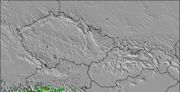
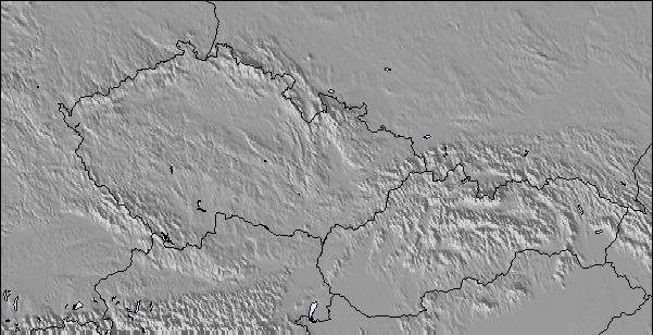
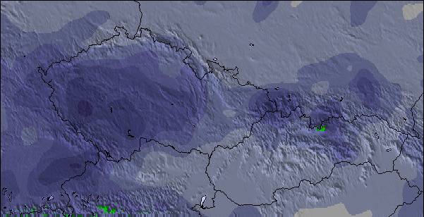
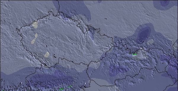
La tabla anterior muestra el pronóstico de tiempo para Spitzingsee en la altitud específica de 1336 m. Nuestros modelos meteorológicos sofisticados permiten prever pronósticos para la cumbre, la mitad y la base de Spitzingsee. Para aceder a los pronósticos de tiempo a otras alturas, pinche en la navegación en la parte superior de la tabla. Para una visión general, consulte el Mapa meteorológico de Germany.
Pinche aquí para más información sobre niveles de congelación y sobre cómo pronosticamos las temperaturas.
Comentarios de Visitantes para Spitzingsee
Generalmente 3.2 En base a 10 votos y 1 comentario
As Spitzingsee is only 40 minutes from the centre of Munich it´s getting crowded on week-ends. But they got 2 new big chair lift´s that work pretty well. However, be aware of heavy traffic-jams all the way from/to Munich.
It is the first mountain range getting hit from the snow clouds arriving from the north, unloading large amounts of snow regularly and offsetting the lack of altitude (this fits for all German alpine resorts. At mid-winter usually the 2000m high Nebelhorn near Oberstdorf f.e. offers more snow than the 3000m high Sölden area located south in Austria).
Spitzingsee isn´t very big but works well for a 1 or 2 day trip. If you´re planning to stay longer think about buying the 'Alpenplus card' covering all nearby resorts, even some smaller Austrian spots.
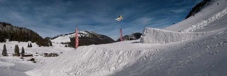
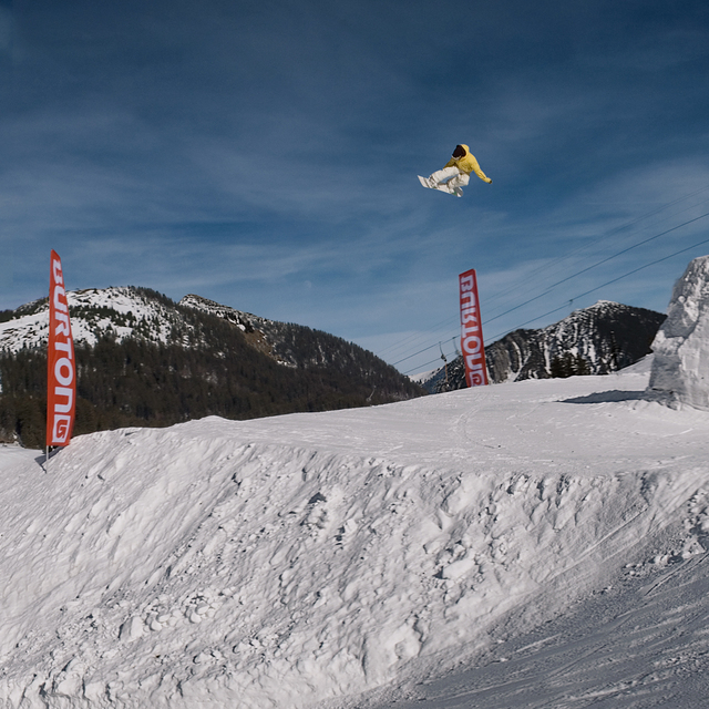
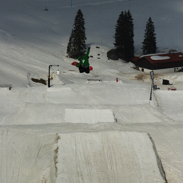
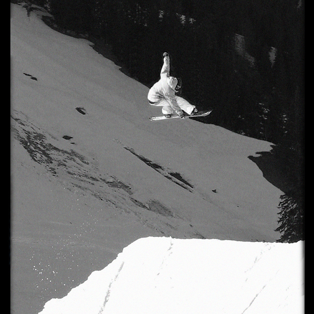
Unusual for a resort of this size, Spitzingsee offers a very good snow park for all levels, even pros find they are challenged on well shaped 20+ meter jumps. Expect a big variation of jumps and rails, but no half-pipe.
Generalmente: 3.2 En base a 10 votos y 1 comentario
Nieve segura
3.0
Variedad de pistas
3.0
Después del esquí
3.0
Cañones de nieve
4.0
Avanzado
3.0
ridR de Germany escribe:
As Spitzingsee is only 40 minutes from the centre of Munich it´s getting crowded on week-ends. But they got 2 new big chair lift´s that work pretty well. However, be aware of heavy traffic-jams all the way from/to Munich.
It is the first mountain range getting hit from the snow clouds arriving from the north, unloading large amounts of snow regularly and offsetting the lack of altitude (this fits for all German alpine resorts. At mid-winter usually the 2000m high Nebelhorn near Oberstdorf f.e. offers more snow than the 3000m high Sölden area located south in Austria).
Spitzingsee isn´t very big but works well for a 1 or 2 day trip. If you´re planning to stay longer think about buying the 'Alpenplus card' covering all nearby resorts, even some smaller Austrian spots.
Unusual for a resort of this size, Spitzingsee offers a very good snow park for all levels, even pros find they are challenged on well shaped 20+ meter jumps. Expect a big variation of jumps and rails, but no half-pipe.
Gratis Snow-Forecast.com Widget del Tiempo para su sitio web
El widget del tiempo para esquiar para Spitzingsee está disponible para ser empotrado en sitios web externos sin costo alguno. Proporciona un resumen diario de nuestro pronóstico de nieve en Spitzingsee y estados de tiempo actuales. Vaya simplemente a la página para su configuración y siga los 3 pasos sencillos. Tome el código de transferencia del hipertexto y péguelo en su propio sitio web. Puede escoger la elevación en el pronóstico de nieve (cumbre, ascensor de medio-montaña o fondo) y unidades métrico/imperiales para el motor del pronóstico de nieve y convenir su propio website…. Click aquí para obtener el código


 Nearest