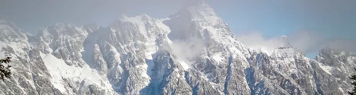
Previsión meteorológica para Savagnieres - Bugnenets en1274m altitud
Emitido: 1 pm 02 Aug 2026 (hora local)
Previsión de nieve actualizada en hora Min
View forecast
Savagnières - Bugnenetsat 1274 m altitud
Emitido por Snow-Forescast.com a:1 pm (hora local) / 02 Aug 2026
Últimos 6 díasDesplázate a la izquierda para los últimos 6 díasAhora
Next 3 days weather summary:
Lluvia moderada (totál 14.0mm), más pesada el martes por la noche. Cálido (max 27°C el lunes por la tarde, min 19°C el lunes por la noche). El viento será generalmente ligero.
Días 4-6 Resúmen del Tiempo para Savagnières - Bugnenets
Lluvia moderada (totál 18.0mm), más pesada el miércoles por la noche. Cálido (max 24°C el miércoles por la tarde, min 15°C el jueves por la noche). El viento será generalmente ligero.
La tabla anterior muestra el pronóstico de tiempo para Savagnières - Bugnenets en la altitud específica de 1274 m. Nuestros modelos meteorológicos sofisticados permiten prever pronósticos para la cumbre, la mitad y la base de Savagnières - Bugnenets. Para aceder a los pronósticos de tiempo a otras alturas, pinche en la navegación en la parte superior de la tabla. Para una visión general, consulte el Mapa meteorológico de Switzerland.
Pinche aquí para más información sobre niveles de congelación y sobre cómo pronosticamos las temperaturas.
Nombre de la estación también escrito como Savagnieres - Bugnenets.
Comentarios de Visitantes para Savagnières - Bugnenets
Savagnières - Bugnenets is a great little ski region with easy and more difficult slopes. Don't expect a large alpine ski resort though.
That said, the ski lessons for the kids are excellent and much better than any we've had experience with so far in the Alps. The groups are smaller and we found the teachers to be more focussed. Even for the very small ones (3 years old) the activities were excellent.
If you live close in the area (i.e. Neuchatel/Bern) then Savagnières - Bugnenets is a very good place to go skiing, even if you're a good skier the region has some nice steep slopes you can really attack.
Comentarios de Visitantes para Savagnières - Bugnenets
Niels de Switzerland escribe:
Savagnières - Bugnenets is a great little ski region with easy and more difficult slopes. Don't expect a large alpine ski resort though.
That said, the ski lessons for the kids are excellent and much better than any we've had experience with so far in the Alps. The groups are smaller and we found the teachers to be more focussed. Even for the very small ones (3 years old) the activities were excellent.
If you live close in the area (i.e. Neuchatel/Bern) then Savagnières - Bugnenets is a very good place to go skiing, even if you're a good skier the region has some nice steep slopes you can really attack.
Gratis Snow-Forecast.com Widget del Tiempo para su sitio web
El widget del tiempo para esquiar para Savagnières - Bugnenets está disponible para ser empotrado en sitios web externos sin costo alguno. Proporciona un resumen diario de nuestro pronóstico de nieve en Savagnières - Bugnenets y estados de tiempo actuales. Vaya simplemente a la página para su configuración y siga los 3 pasos sencillos. Tome el código de transferencia del hipertexto y péguelo en su propio sitio web. Puede escoger la elevación en el pronóstico de nieve (cumbre, ascensor de medio-montaña o fondo) y unidades métrico/imperiales para el motor del pronóstico de nieve y convenir su propio website…. Click aquí para obtener el código


 Nearest