

comScore pixel
Navega sin anuncios con SnowPro
Nieve de la estación de esquí Porters
Esquí New Zealand

Pronóstico de Nieve para Porters

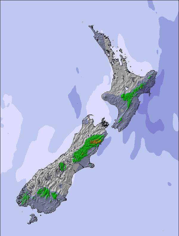
43.27° S 171.65° E

Pronóstico de tiempo para Porters a 1645 m altitud

Próxima nevada en Porters:
4.8 cm el Vie 30
Emitido:
12 am 30 Oct 2026 (hora local)
Previsión de nieve actualizada en:
 hora  Min
Últimos 6 díasDesplázate a la izquierda para los últimos 6 díasAhora
viernes
30
sábado
31
domingo
1
lunes
2
martes
3
noche
mañana
tarde
noche
mañana
tarde
noche
mañana
tarde
noche
mañana
tarde
noche
mañana
tarde
noche
snow showers
snow showers
mod snow
snow showers
clear
clear
clear
part cloud
light snow
light snow
heavy rain
heavy rain
heavy rain
heavy rain
light rain
rain showers
neva­das
neva­das
nieve
mod.
neva­das
claro
claro
claro
semi
nublado
nieve
ligera
nieve
ligera
fuerte
lluvia
fuerte
lluvia
fuerte
lluvia
fuerte
lluvia
llov­izna
chuba
scos
km/h
15
WNW
25
W
15
WSW
15
SSW
0
SW
5
WNW
15
NNW
25
NW
40
NW
40
NW
30
NW
45
NW
25
NW
10
NNW
5
NNW
15
NW
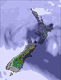
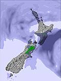
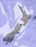
Mapa de
Nieve
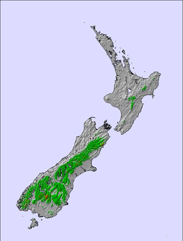
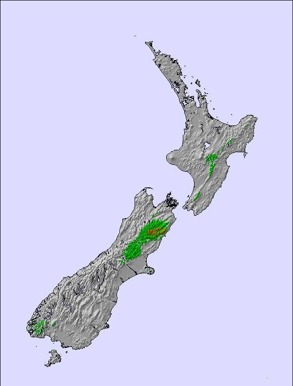
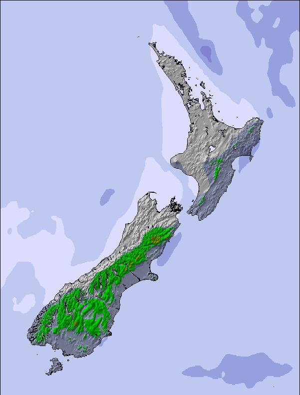
Snow map
Snow map
Snow map
Snow map
Snow map
Snow map
Snowflake cm
—
2
7
3
—
—
—
—
—
—
—
—
—
—
—
—
 mm
—
—
—
—
—
—
—
—
—
4
11
11
20
12
4
1
max °C
-2
-1
0
-5
-1
3
4
5
4
3
3
5
6
5
4
7
min °C
-4
-3
-4
-6
-4
2
2
4
2
2
2
5
5
4
4
6
 chill °C
-9
-10
-8
-11
-4
2
-1
-1
-5
-5
-4
-1
0
4
3
3
Humed. %
78
91
72
84
61
69
47
50
64
89
96
85
95
99
96
83
Altura de Hielo m
1000
1250
1650
650
1000
1950
2550
3150
3100
2100
2100
2450
2650
2600
2500
2800
nivel del mar1000m2000m3000m4000m5000m
-5-4-5-8-512421134335-221-5052654566567
Salida</br>del sol
—
6:18
—
—
6:18
—
—
6:16
—
—
6:15
—
—
6:13
—
—
Puesta del sol
—
—
8:15
—
—
8:15
—
—
8:16
—
—
8:17
—
—
8:20
—

Next 4 days weather summary:

Caída moderada de nieve, más pesada el viernes por la tarde. condiciones de congelación y descongelación (max 5°C el domingo por la mañana, min -6°C el viernes por la noche). Vientos crecientes (calma el sábado por la mañana, vientos fuertes desde el NO por la tarde de domingo).

Días 5-7 Resúmen del Tiempo para Porters

Fuerte lluvia (totál 67.0mm), más pesada durante la tarde de lunes. Temperaturas templadas (max 7°C el martes por la noche, min 2°C el domingo por la noche). Vientos decreciente (vientos fuertes desde el NO el lunes por la tarde, calma por la mañana de martes).

  • Circle CheckPronósticos de nieve por hora y a 16 días
  • Circle CheckVer el tiempo pasado
  • Circle CheckNavegación rápida sin anuncios
  • Circle CheckRetro-pronóstico e Historial de nieve
Desbloquea la app y el sitio

Información de avalanchas: New Zealand Avalanche Advisory


Radar de nieve

Presentar el reporte Eyeball Reporter

Ultimo parte de nieve cerca Porters:

  • 39 km lejos desde Porters

    Hace 7 hour
    weather station observation

    Recent light rain reported from Arthur's Pass National Park Visitor Centre at 737 metres elevation only 3 kms S of Temple Basin but it is forecast cold enough for snow at the ski area desde Temple Basin

Condiciones de Nieve en Porters

Profundidad de nieve arriba:—
Profundidad de nieve abajo:—
Profundidad de la nevada fresca:3.0 cm
Última nevada:28 Oct 2026
Otras estaciones en New Zealand están reportando: Nieve en polvo (0) / buena pista (0)

Ofertas de socios de Snow-Forecast

Historial de nevadas

Semana 4 of October tiene en promedio:

0.3
Dias de Nieve en Polvo
Nieve fresca, mayormente soleado, viento suave.
0.4
Dias de nieve en polvo
Nieve fresca, sol limitado, sin viento.
0.1
Dia perfecto para esquiar
Nieve promedio, mayormente soleado, viento suave.

Map placeholder