

Is AI About to Change How We Plan Ski Trips?
Meet WeSki.ai - the new AI-powered trip planner from the ski experts at WeSki that turns your ideas into a fully planned ski trip in seconds, simply by describing what you want.

Next 3 days weather summary:Fuerte lluvia (totál 27.0mm), más pesada durante la noche del viernes. Muy templado (max 13°C el viernes por la tarde, min 4°C el miércoles por la noche). El viento será generalmente ligero. | Days 4-6 weather summary:Fuerte lluvia (totál 38.0mm), más pesada durante la noche de lunes. Muy templado (max 15°C el sábado por la tarde, min 7°C el lunes por la noche). El viento será generalmente ligero. | ||||||||||||||||
Wed 6 | Thursday 7 | Friday 8 | Saturday 9 | Sunday 10 | Monday 11 | ||||||||||||
tarde | noche | mañana | tarde | noche | mañana | tarde | noche | mañana | tarde | noche | mañana | tarde | noche | mañana | tarde | noche | |
riesgo true- nos | chuba scos | claro | llovizna | chuba scos | nubl ado | riesgo true- nos | fuerte lluvia | claro | semi nublado | chuba scos | llovizna | lluvia mod. | chuba scos | riesgo true- nos | lluvia mod. | fuerte lluvia | |
km/h | |||||||||||||||||
Snow map |  |  |  |  |  |  | |||||||||||
— | — | — | — | — | — | — | — | — | — | — | — | — | — | — | — | — | |
5 | 2 | — | 2 | 1 | — | 3 | 14 | — | — | 1 | 1 | 6 | 2 | 1 | 7 | 20 | |
max °C | 7 | 7 | 8 | 10 | 9 | 11 | 13 | 11 | 12 | 15 | 13 | 10 | 10 | 10 | 12 | 13 | 8 |
min °C | 5 | 4 | 5 | 9 | 8 | 8 | 12 | 7 | 9 | 15 | 9 | 9 | 10 | 8 | 9 | 12 | 7 |
3 | 3 | 5 | 8 | 8 | 8 | 12 | 6 | 9 | 15 | 9 | 9 | 10 | 7 | 7 | 10 | 7 | |
77 | 77 | 70 | 68 | 70 | 57 | 66 | 84 | 51 | 52 | 72 | 75 | 88 | 79 | 59 | 66 | 84 | |
2250 | 2100 | 2350 | 2600 | 2600 | 2700 | 2850 | 2500 | 2800 | 3050 | 2950 | 2700 | 2750 | 2650 | 2850 | 2800 | 2650 | |
— | — | 6:11 | — | — | 6:09 | — | — | 6:09 | — | — | 6:07 | — | — | 6:05 | — | — | |
— | 8:46 | — | — | 8:47 | — | — | 8:49 | — | — | 8:50 | — | — | 8:52 | — | — | 8:52 | |
Ultimo parte de nieve cerca Morillon:
Light rain reported from Haute-Savoie Mont Blanc Airport/Aéroport Annecy/Meythet at 711 metres elevation only 3 kms WNW of Annecy-LeSemnoz but it is forecast cold enough for snow at the ski area desde Annecy-LeSemnoz
Light rain reported from Sion at 339 metres elevation only 4 kms NNE of Haute Nendaz but it is forecast cold enough for snow at higher elevations in the ski area desde Haute Nendaz
| Profundidad de nieve arriba: | — |
|---|---|
| Profundidad de nieve abajo: | — |
| Profundidad de la nevada fresca: | — |
| Última nevada: | 31 Mar 2026 |
0.0 | Dias de Nieve en Polvo Nieve fresca, mayormente soleado, viento suave. |
|---|---|
0.1 | Dias de nieve en polvo Nieve fresca, sol limitado, sin viento. |
0.0 | Dia perfecto para esquiar Nieve promedio, mayormente soleado, viento suave. |

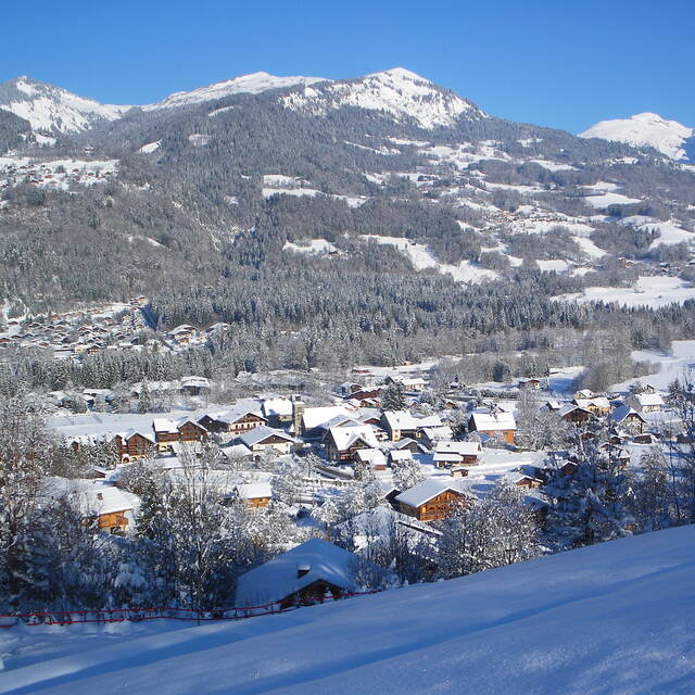
La tabla anterior muestra el pronóstico de tiempo para Morillon en la altitud específica de 1294 m. Nuestros modelos meteorológicos sofisticados permiten prever pronósticos para la cumbre, la mitad y la base de Morillon. Para aceder a los pronósticos de tiempo a otras alturas, pinche en la navegación en la parte superior de la tabla. Para una visión general, consulte el Mapa meteorológico de France.
Pinche aquí para más información sobre niveles de congelación y sobre cómo pronosticamos las temperaturas.
Generalmente 4.3 En base a 19 votos y 26 comentarios
Lifts have improved so much from early days and it is a fabulous area to ski. No steps anywhere as completely equipped for the disabled skiers. Pistes very well looked after and there is something for everyone. .The Grand Massif has black off-piste bowls and runs, to lovely long green ones. There are also open slopes and tree runs so when the weather is bad you can usually ski. February does get busy but so does everywhere.
Crioutwo de United Kingdom escribe:
Lifts have improved so much from early days and it is a fabulous area to ski. No steps anywhere as completely equipped for the disabled skiers. Pistes very well looked after and there is something for everyone. .The Grand Massif has black off-piste bowls and runs, to lovely long green ones. There are also open slopes and tree runs so when the weather is bad you can usually ski.
February does get busy but so does everywhere.
Lea 25 otras críticas de Morillon o entrega su propio comentario


 Nearest