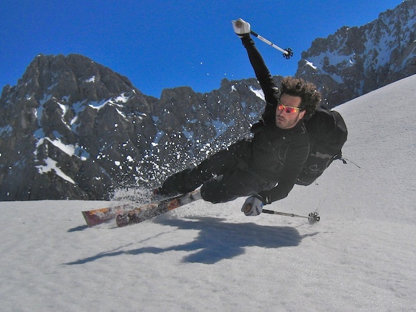


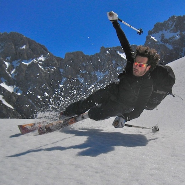
Portillo Re-Opens To Guests Arriving By Helicopter
Chile’s famous Portillo ski resort is reported to have re-opened to guests arriving by helicopter after being cut off by road for more than two weeks by over 6m/20 feet of snowfall.

Next 3 days weather summary:Fuerte lluvia (totál 28.0mm), más pesada durante la noche de miércoles. Muy templado (max 19°C el lunes por la tarde, min 12°C el miércoles por la noche). El viento será generalmente ligero. | Días 4-6 Resúmen del Tiempo para Mittenwald/DammkarFuerte lluvia (totál 45.0mm), más pesada durante la tarde de jueves. Muy templado (max 15°C el jueves por la mañana, min 9°C el jueves por la noche). El viento será generalmente ligero. | |||||||||||||||||
lunes 3 | martes 4 | miércoles 5 | jueves 6 | viernes 7 | sábado 8 | |||||||||||||
mañana | tarde | noche | mañana | tarde | noche | mañana | tarde | noche | mañana | tarde | noche | mañana | tarde | noche | mañana | tarde | noche | |
claro | nubl ado | chuba scos | claro | riesgo truenos | chuba scos | riesgo truenos | riesgo truenos | fuerte lluvia | riesgo truenos | riesgo truenos | fuerte lluvia | chuba scos | riesgo truenos | chuba scos | claro | riesgo truenos | chuba scos | |
km/h | ||||||||||||||||||
Mapa de Nieve |  |  |  |  |  |  | ||||||||||||
— | — | — | — | — | — | — | — | — | — | — | — | — | — | — | — | — | — | |
mm | — | — | 1 | — | 4 | 1 | 1 | 5 | 16 | 1 | 16 | 21 | 1 | 2 | 1 | — | 2 | 1 |
max °C | 17 | 19 | 16 | 17 | 18 | 16 | 15 | 16 | 15 | 15 | 15 | 11 | 10 | 10 | 10 | 11 | 12 | 12 |
min °C | 15 | 17 | 15 | 15 | 15 | 13 | 13 | 16 | 12 | 13 | 12 | 9 | 9 | 10 | 9 | 9 | 12 | 11 |
chill °C | 15 | 17 | 15 | 15 | 15 | 13 | 13 | 16 | 12 | 13 | 12 | 7 | 9 | 10 | 9 | 9 | 12 | 10 |
Humed. % | 47 | 53 | 55 | 50 | 67 | 69 | 70 | 68 | 76 | 67 | 84 | 91 | 80 | 89 | 85 | 77 | 80 | 54 |
Altura de Hielo m | 4500 | 4550 | 4500 | 4500 | 4550 | 4500 | 4400 | 4500 | 4350 | 4350 | 4350 | 3900 | 3950 | 3950 | 3950 | 3900 | 4050 | 4150 |
5:54 | — | — | 5:54 | — | — | 5:56 | — | — | 5:58 | — | — | 5:58 | — | — | 6:00 | — | — | |
— | — | 8:45 | — | — | 8:45 | — | — | 8:43 | — | — | 8:42 | — | — | 8:39 | — | — | 8:38 | |
Hazte pro y carve en:
Información de avalanchas: European Avalanche Warning Services (EAWS)
Ultimo parte de nieve cerca Mittenwald/Dammkar:
| Profundidad de nieve arriba: | — |
|---|---|
| Profundidad de nieve abajo: | — |
| Profundidad de la nevada fresca: | — |
| Última nevada: | 18 May 2026 |
0.0 | Dias de Nieve en Polvo Nieve fresca, mayormente soleado, viento suave. |
|---|---|
0.0 | Dias de nieve en polvo Nieve fresca, sol limitado, sin viento. |
0.0 | Dia perfecto para esquiar Nieve promedio, mayormente soleado, viento suave. |
La tabla anterior muestra el pronóstico de tiempo para Mittenwald/Dammkar en la altitud específica de 2244 m. Nuestros modelos meteorológicos sofisticados permiten prever pronósticos para la cumbre, la mitad y la base de Mittenwald/Dammkar. Para aceder a los pronósticos de tiempo a otras alturas, pinche en la navegación en la parte superior de la tabla. Para una visión general, consulte el Mapa meteorológico de Germany.
Pinche aquí para más información sobre niveles de congelación y sobre cómo pronosticamos las temperaturas.
Generalmente 3.8 En base a 1 voto y 2 comentarios
Picturesque resort with modest sized family skiing area, and a good off-piste area off the Karwendel(1300m vertical drop). Usually fairly empty during weekdays meaning smooth well groomed pistes. Popular also with walkers, X country etc.
I Fisher de United Kingdom escribe:
Picturesque resort with modest sized family skiing area, and a good off-piste area off the Karwendel(1300m vertical drop). Usually fairly empty during weekdays meaning smooth well groomed pistes. Popular also with walkers, X country etc.
Lea 1 otras críticas de Mittenwald/Dammkar o entrega su propio comentario


 Nearest