Fuerte lluvia (totál 24.0mm), más pesada durante la tarde de jueves. Luego volviéndose mas frío con un espolvoreada de nieve el jueves por la noche. condiciones de congelación y descongelación (max 5°C el jueves por la tarde, min -5°C el viernes por la tarde). El viento será generalmente ligero.
Días 4-6 Resúmen del Tiempo para Grimentz
Espolvoreada de nieve. Luego más templado con lluvia fuerte (totál 33.0mm) el martes por la tarde. condiciones de congelación y descongelación (max 6°C el martes por la mañana, min -1°C el domingo por la tarde). El viento será generalmente ligero.
Light rain reported from Sion at 339 metres elevation only 2 kms NW of Veysonnaz-Printse but it is forecast cold enough for snow at higher elevations in the ski area desde Veysonnaz-Printse
19km lejos desde Grimentz
Hace 5 hours
Moderate rain reported from Sion at 339 metres elevation only 2 kms NW of Veysonnaz-Printse but it is forecast cold enough for snow at higher elevations in the ski area desde Veysonnaz-Printse
La tabla anterior muestra el pronóstico de tiempo para Grimentz en la altitud específica de 1571 m. Nuestros modelos meteorológicos sofisticados permiten prever pronósticos para la cumbre, la mitad y la base de Grimentz. Para aceder a los pronósticos de tiempo a otras alturas, pinche en la navegación en la parte superior de la tabla. Para una visión general, consulte el Mapa meteorológico de Switzerland.
Pinche aquí para más información sobre niveles de congelación y sobre cómo pronosticamos las temperaturas.
Comentarios de Visitantes para Grimentz
Generalmente 4.1 En base a 35 votos y 18 comentarios
I don't understand these sometimes negative reviews. Simply put, Grimentz is wonderful. I have spent years skiing in virtually every major Swiss resort, big and small, and many French ones. But I am new to Grimentz which has it all. Charming old village, really hospitable people, few queues, good food, amazing views and remarkably well-kept runs. And it's less expensive than bigger resorts. Excellent service in the Intersport ski shop. Most important, the kids gained confidence and hugely enjoyed the excellent ski school.Yes, we have just come back after a massive drought combined with warm weather, so the skiing was limited as it is everywhere at present in the the Alps. But anybody with a modicum of intelligence should be able to see the opportunity for really great off-piste skiing when there is snow and the connection with Zinal increases the skiing considerably.
The Hotel Cristal is lovely with a short walk to the lifts. Oliver and his outstanding staff are delightful, kind, hospitable and always smile taking trouble to make you feel really welcome. Some mindless people are bored in the evening? How about taking a good book or Kindle and relaxing comfortably with a drink.
Generalmente: 4.1 En base a 35 votos y 18 comentarios
Nieve segura
4.8
Variedad de pistas
4.6
Fuera de pista
4.9
Escenografía
4.8
Después del esquí
3.2
Robert Winston de United Kingdom escribe:
I don't understand these sometimes negative reviews. Simply put, Grimentz is wonderful. I have spent years skiing in virtually every major Swiss resort, big and small, and many French ones. But I am new to Grimentz which has it all. Charming old village, really hospitable people, few queues, good food, amazing views and remarkably well-kept runs. And it's less expensive than bigger resorts. Excellent service in the Intersport ski shop. Most important, the kids gained confidence and hugely enjoyed the excellent ski school.Yes, we have just come back after a massive drought combined with warm weather, so the skiing was limited as it is everywhere at present in the the Alps. But anybody with a modicum of intelligence should be able to see the opportunity for really great off-piste skiing when there is snow and the connection with Zinal increases the skiing considerably.
The Hotel Cristal is lovely with a short walk to the lifts. Oliver and his outstanding staff are delightful, kind, hospitable and always smile taking trouble to make you feel really welcome. Some mindless people are bored in the evening? How about taking a good book or Kindle and relaxing comfortably with a drink.
Gratis Snow-Forecast.com Widget del Tiempo para su sitio web
El widget del tiempo para esquiar para Grimentz está disponible para ser empotrado en sitios web externos sin costo alguno. Proporciona un resumen diario de nuestro pronóstico de nieve en Grimentz y estados de tiempo actuales. Vaya simplemente a la página para su configuración y siga los 3 pasos sencillos. Tome el código de transferencia del hipertexto y péguelo en su propio sitio web. Puede escoger la elevación en el pronóstico de nieve (cumbre, ascensor de medio-montaña o fondo) y unidades métrico/imperiales para el motor del pronóstico de nieve y convenir su propio website…. Click aquí para obtener el código

 ski hire exclusive discount




 Snow
 Pronósticos de nieve por hora y a 16 días



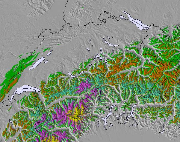
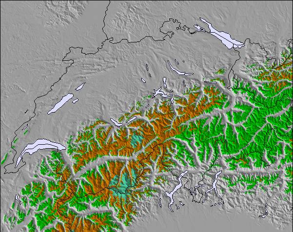
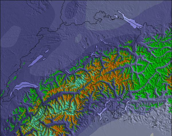
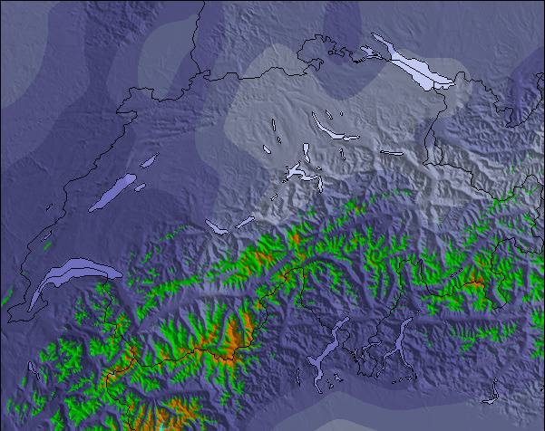
 Registrarse o Iniciar sesion para acceder
 Subir nueva foto

 Nearest