

Portillo Re-Opens To Guests Arriving By Helicopter
Chile’s famous Portillo ski resort is reported to have re-opened to guests arriving by helicopter after being cut off by road for more than two weeks by over 6m/20 feet of snowfall.

Next 3 days weather summary:Fuerte lluvia (totál 25.0mm), más pesada durante la tarde de lunes. Cálido (max 22°C el miércoles por la tarde, min 16°C el lunes por la noche). El viento será generalmente ligero. | Días 4-6 Resúmen del Tiempo para Gressoney-Saint-JeanFuerte lluvia (totál 31.0mm), más pesada durante la noche de jueves. Cálido (max 22°C el jueves por la tarde, min 14°C el jueves por la noche). El viento será generalmente ligero. | ||||||||||||||||
lun 3 | martes 4 | miércoles 5 | jueves 6 | viernes 7 | sábado 8 | ||||||||||||
tarde | noche | mañana | tarde | noche | mañana | tarde | noche | mañana | tarde | noche | mañana | tarde | noche | mañana | tarde | noche | |
riesgo truenos | chuba scos | claro | riesgo truenos | chuba scos | claro | riesgo truenos | chuba scos | claro | riesgo truenos | chuba scos | riesgo truenos | riesgo truenos | chuba scos | riesgo truenos | riesgo truenos | chuba scos | |
km/h | |||||||||||||||||
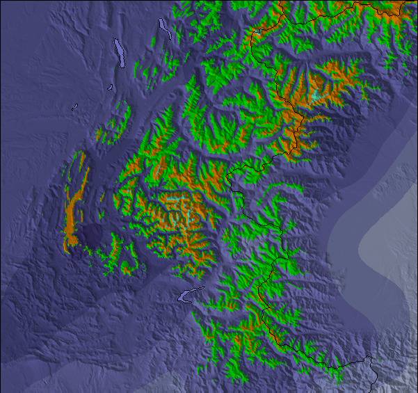
Mapa de Nieve |  |  |  |  |  |  | |||||||||||
— | — | — | — | — | — | — | — | — | — | — | — | — | — | — | — | — | |
mm | 8 | 5 | — | 2 | 5 | — | 1 | 4 | — | 4 | 12 | 1 | 3 | 2 | 1 | 3 | 4 |
max °C | 19 | 18 | 20 | 21 | 19 | 20 | 22 | 19 | 21 | 22 | 15 | 19 | 21 | 19 | 19 | 20 | 18 |
min °C | 19 | 16 | 17 | 21 | 16 | 17 | 22 | 16 | 17 | 19 | 14 | 16 | 20 | 14 | 15 | 20 | 15 |
chill °C | 19 | 16 | 17 | 21 | 16 | 17 | 22 | 16 | 17 | 19 | 14 | 16 | 20 | 14 | 15 | 20 | 15 |
Humed. % | 68 | 66 | 52 | 51 | 65 | 46 | 48 | 62 | 49 | 71 | 75 | 52 | 55 | 70 | 61 | 61 | 76 |
Altura de Hielo m | 4400 | 4400 | 4350 | 4350 | 4500 | 4450 | 4500 | 4450 | 4350 | 4400 | 4350 | 4150 | 4350 | 4250 | 4250 | 4400 | 4300 |
— | — | 6:13 | — | — | 6:15 | — | — | 6:16 | — | — | 6:18 | — | — | 6:18 | — | — | |
— | 8:54 | — | — | 8:53 | — | — | 8:52 | — | — | 8:51 | — | — | 8:50 | — | — | 8:47 | |
Hazte pro y carve en:
Información de avalanchas: European Avalanche Warning Services (EAWS)
Ultimo parte de nieve cerca Gressoney-Saint-Jean:
| Profundidad de nieve arriba: | 0 cm |
|---|---|
| Profundidad de nieve abajo: | 0 cm |
| Profundidad de la nevada fresca: | — |
| Última nevada: | 15 May 2026 |
0.0 | Dias de Nieve en Polvo Nieve fresca, mayormente soleado, viento suave. |
|---|---|
0.0 | Dias de nieve en polvo Nieve fresca, sol limitado, sin viento. |
0.0 | Dia perfecto para esquiar Nieve promedio, mayormente soleado, viento suave. |


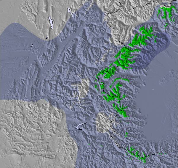
La tabla anterior muestra el pronóstico de tiempo para Gressoney-Saint-Jean en la altitud específica de 1686 m. Nuestros modelos meteorológicos sofisticados permiten prever pronósticos para la cumbre, la mitad y la base de Gressoney-Saint-Jean. Para aceder a los pronósticos de tiempo a otras alturas, pinche en la navegación en la parte superior de la tabla. Para una visión general, consulte el Mapa meteorológico de Italy.
Pinche aquí para más información sobre niveles de congelación y sobre cómo pronosticamos las temperaturas.
Generalmente 3.9 En base a 11 votos y 1 comentario
Was staying in Gressoney, so got the ski bus down. It's a small area, one slow 2 man chair, and several pistes, probably enough for a morning's skiing, which is what we did. Pistes are mainly through the trees, with the blue surprisingly long. The floodlit black is quite tricky if conditions aren't great, i.e icy. The resort is probably better with fresh snow as there's some good off-piste between the trees when conditions allow. But if conditions are that good, you might as well stay in Gressoney/Alagna and go off-piste there. It's really only worth going if you're a Gressoney regular and curious. But your curiosity will be sated after just a few hours.
bradley de United Kingdom escribe:
Was staying in Gressoney, so got the ski bus down. It's a small area, one slow 2 man chair, and several pistes, probably enough for a morning's skiing, which is what we did. Pistes are mainly through the trees, with the blue surprisingly long. The floodlit black is quite tricky if conditions aren't great, i.e icy. The resort is probably better with fresh snow as there's some good off-piste between the trees when conditions allow. But if conditions are that good, you might as well stay in Gressoney/Alagna and go off-piste there. It's really only worth going if you're a Gressoney regular and curious. But your curiosity will be sated after just a few hours.
Haz clic aquí para entregar su propio comentario de Gressoney-Saint-Jean

 Nearest