Nueva capa fina de nieve, cayendo mayormente el jueves por la noche. condiciones de congelación y descongelación (max 1°C el jueves por la noche, min -3°C el jueves por la noche). El viento será generalmente ligero.
Días 5-7 Resúmen del Tiempo para Goms - Oberwald
Pesada caída de nieve, más pesada durante la noche de martes. Temperaturas serán bajo cero (max 0°C el lunes por la mañana, min -4°C el martes por la noche). El viento será generalmente ligero.
Light rain reported from Buochs Airport at 450 metres elevation 6 kms N of Dallenwil Wirzweli but it is forecast cold enough for snow at the ski area desde Dallenwil Wirzweli
43km lejos desde Goms - Oberwald
Hace 4 hours
Moderate rain reported from Buochs Airport at 450 metres elevation 6 kms N of Dallenwil Wirzweli but it is forecast cold enough for snow at the ski area desde Dallenwil Wirzweli
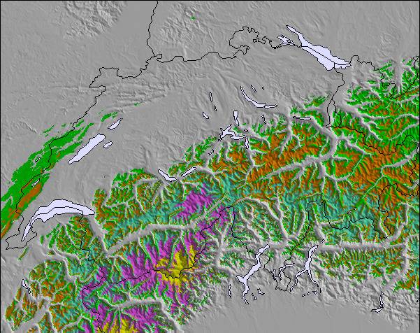
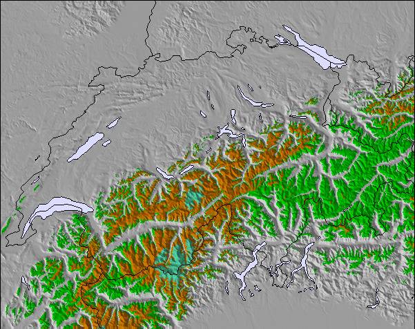
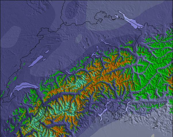
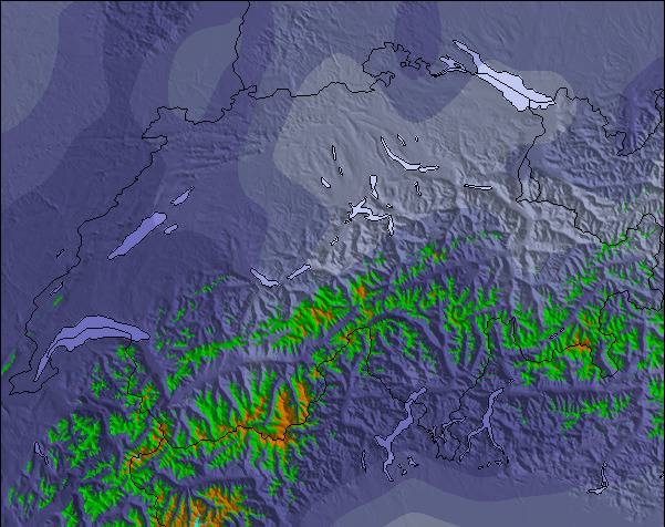
La tabla anterior muestra el pronóstico de tiempo para Goms - Oberwald en la altitud específica de 2206 m. Nuestros modelos meteorológicos sofisticados permiten prever pronósticos para la cumbre, la mitad y la base de Goms - Oberwald. Para aceder a los pronósticos de tiempo a otras alturas, pinche en la navegación en la parte superior de la tabla. Para una visión general, consulte el Mapa meteorológico de Switzerland.
Pinche aquí para más información sobre niveles de congelación y sobre cómo pronosticamos las temperaturas.
The Obergoms, in the Valais high valley, is considered to be the snowiest region in Switzerland. The very cold temperatures also ensure that the snow remains until spring. The very wide trails (classic and skating) are always in top condition. A night trail between Ulrichen and Obergesteln also has its charm. The trails leading through the whole valley (about 20 km) run along the Rhone (Rottu). With the cross-country ski pass, the return journey is even free.
Das Obergoms im Walliser Hochtal, gilt an schneesicherste Region in der Schweiz. Die sehr kalten Temperaturen sorgen zusätzlich dafür, dass der Schnee bis in den Frühling liegen bleibt. Die sehr breiten Loipen (Klassisch und Skating) sind immer in einem Top Zustand. Eine Nachtloipe zwischen Ulrichen und Obergesteln hat zusätzlich ihren Reiz. Die durch das ganze Tal (ca. 20 km) führenden Loipen verlaufen der Rhone (Rottu) entlang. Mit dem Loipenpass, ist die Rückreise sogar kostenlos.
The Obergoms, in the Valais high valley, is considered to be the snowiest region in Switzerland. The very cold temperatures also ensure that the snow remains until spring. The very wide trails (classic and skating) are always in top condition. A night trail between Ulrichen and Obergesteln also has its charm. The trails leading through the whole valley (about 20 km) run along the Rhone (Rottu). With the cross-country ski pass, the return journey is even free.
Das Obergoms im Walliser Hochtal, gilt an schneesicherste Region in der Schweiz. Die sehr kalten Temperaturen sorgen zusätzlich dafür, dass der Schnee bis in den Frühling liegen bleibt. Die sehr breiten Loipen (Klassisch und Skating) sind immer in einem Top Zustand. Eine Nachtloipe zwischen Ulrichen und Obergesteln hat zusätzlich ihren Reiz. Die durch das ganze Tal (ca. 20 km) führenden Loipen verlaufen der Rhone (Rottu) entlang. Mit dem Loipenpass, ist die Rückreise sogar kostenlos.
Gratis Snow-Forecast.com Widget del Tiempo para su sitio web
El widget del tiempo para esquiar para Goms - Oberwald está disponible para ser empotrado en sitios web externos sin costo alguno. Proporciona un resumen diario de nuestro pronóstico de nieve en Goms - Oberwald y estados de tiempo actuales. Vaya simplemente a la página para su configuración y siga los 3 pasos sencillos. Tome el código de transferencia del hipertexto y péguelo en su propio sitio web. Puede escoger la elevación en el pronóstico de nieve (cumbre, ascensor de medio-montaña o fondo) y unidades métrico/imperiales para el motor del pronóstico de nieve y convenir su propio website…. Click aquí para obtener el código


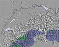
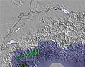
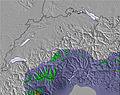


 Snow
 Pronósticos de nieve por hora y a 16 días



 Registrarse o Iniciar sesion para acceder

 Nearest