

America’s Next Indoor Snow Centre Takes Shape
Construction of a new indoor snow centre for skiers, boarders and tubers appears to be making good progress at Heritage Farm in Wayne County, West Virginia.

Next 4 days weather summary:Mayormente seco. Cálido (max 24°C el viernes por la tarde, min 10°C el martes por la noche). El viento será generalmente ligero. | Días 5-7 Resúmen del Tiempo para CourmayeurFuerte lluvia (totál 36.0mm), más pesada durante la noche de sábado. Cálido (max 28°C el sábado por la tarde, min 12°C el domingo por la noche). El viento será generalmente ligero. | |||||||||||||||
miércoles 22 | jueves 23 | viernes 24 | sábado 25 | domingo 26 | ||||||||||||
noche | mañana | tarde | noche | mañana | tarde | noche | mañana | tarde | noche | mañana | tarde | noche | mañana | tarde | noche | |
claro | claro | claro | claro | semi nublado | claro | claro | claro | claro | claro | claro | riesgo truenos | fuerte lluvia | riesgo truenos | lluvia mod. | chuba scos | |
km/h | ||||||||||||||||
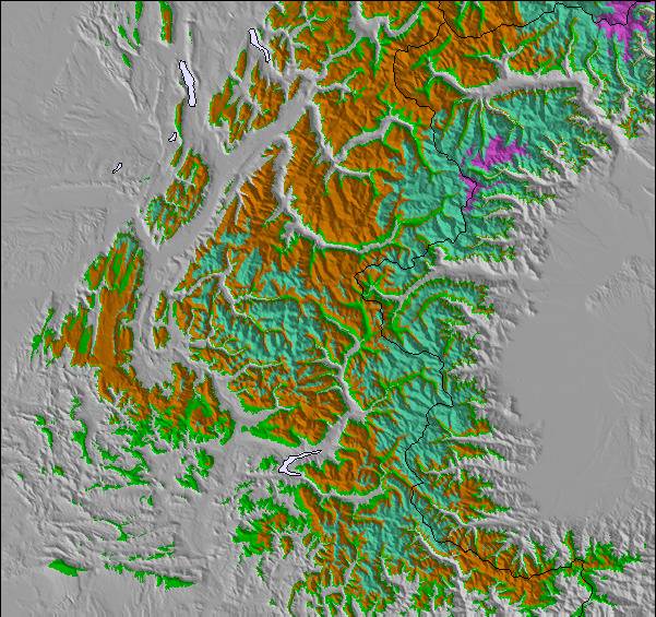
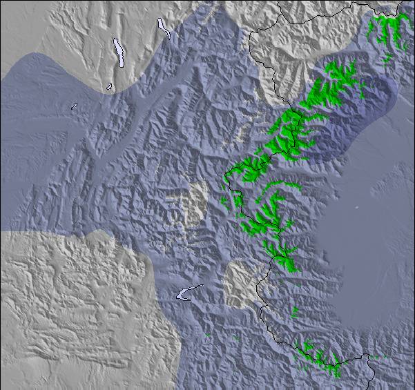
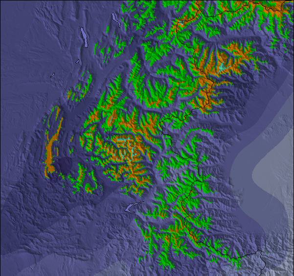
Mapa de Nieve |  |  |  |  |  |  | ||||||||||
— | — | — | — | — | — | — | — | — | — | — | — | — | — | — | — | |
mm | — | — | — | — | — | — | — | — | — | — | — | 1 | 21 | 5 | 7 | 2 |
max °C | 18 | 20 | 23 | 19 | 20 | 22 | 19 | 21 | 24 | 21 | 24 | 28 | 18 | 18 | 18 | 16 |
min °C | 10 | 14 | 23 | 11 | 15 | 22 | 10 | 15 | 24 | 13 | 17 | 26 | 14 | 15 | 16 | 12 |
chill °C | 10 | 14 | 23 | 11 | 15 | 22 | 10 | 15 | 24 | 13 | 17 | 26 | 14 | 15 | 16 | 12 |
Humed. % | 70 | 33 | 36 | 49 | 39 | 36 | 64 | 24 | 29 | 37 | 25 | 36 | 87 | 65 | 81 | 83 |
Altura de Hielo m | 3750 | 3850 | 4050 | 3950 | 3650 | 3850 | 4000 | 4300 | 4300 | 4400 | 4350 | 4400 | 3600 | 3600 | 3550 | 3500 |
— | 6:03 | — | — | 6:03 | — | — | 6:05 | — | — | 6:05 | — | — | 6:07 | — | — | |
— | — | — | 9:13 | — | — | 9:12 | — | — | 9:10 | — | — | 9:09 | — | — | 9:08 | |
Hazte pro y carve en:
Información de avalanchas: European Avalanche Warning Services (EAWS)
Ultimo parte de nieve cerca Courmayeur:
| Profundidad de nieve arriba: | 0 cm |
|---|---|
| Profundidad de nieve abajo: | 0 cm |
| Profundidad de la nevada fresca: | — |
| Última nevada: | 16 May 2026 |
0.0 | Dias de Nieve en Polvo Nieve fresca, mayormente soleado, viento suave. |
|---|---|
0.0 | Dias de nieve en polvo Nieve fresca, sol limitado, sin viento. |
0.0 | Dia perfecto para esquiar Nieve promedio, mayormente soleado, viento suave. |
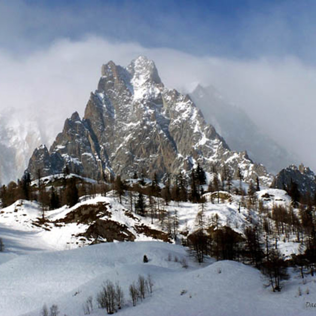

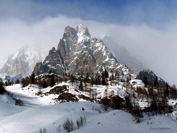
La tabla anterior muestra el pronóstico de tiempo para Courmayeur en la altitud específica de 1210 m. Nuestros modelos meteorológicos sofisticados permiten prever pronósticos para la cumbre, la mitad y la base de Courmayeur. Para aceder a los pronósticos de tiempo a otras alturas, pinche en la navegación en la parte superior de la tabla. Para una visión general, consulte el Mapa meteorológico de Italy.
Pinche aquí para más información sobre niveles de congelación y sobre cómo pronosticamos las temperaturas.
Generalmente 4.0 En base a 28 votos y 22 comentarios
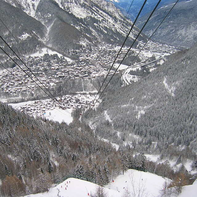
Spent a day in Courmayeur after Chamonix. What a difference! Friendly people everywhere, truly exceptional mountain restaurants, great scenery and a wonderful car-free main road. Many places with atmosphere-bars, restaurants etc. Our hotel was perfect: elderly Royal et Golf. Brilliant, location, rooms, service and staff. As for the skiing, it's not for the real top skiers (but they are actually a minority). For beginners and intermediates it is fun in the sun on interesting well laid out slopes which are impeccably groomed. A nice variety with great lifts, minimal lines and a real sense of fun. Lovely resort. Highly recommend it.
walter de Switzerland escribe:
Spent a day in Courmayeur after Chamonix. What a difference! Friendly people everywhere, truly exceptional mountain restaurants, great scenery and a wonderful car-free main road. Many places with atmosphere-bars, restaurants etc. Our hotel was perfect: elderly Royal et Golf. Brilliant, location, rooms, service and staff.
As for the skiing, it's not for the real top skiers (but they are actually a minority). For beginners and intermediates it is fun in the sun on interesting well laid out slopes which are impeccably groomed. A nice variety with great lifts, minimal lines and a real sense of fun.
Lovely resort. Highly recommend it.
Lea 21 otras críticas de Courmayeur o entrega su propio comentario

 Nearest