Últimos 6 díasDesplázate a la izquierda para los últimos 6 díasAhora
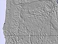
Next 4 days weather summary:
Lluvia ligera (totál 5.0mm), cayendo mayormente el miércoles por la tarde. Cálido (max 23°C el martes por la tarde, min 16°C el martes por la noche). El viento será generalmente ligero.
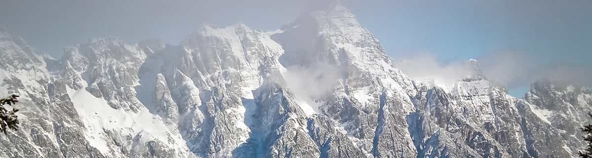
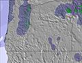
Días 5-7 Resúmen del Tiempo para Cooper Spur
Mayormente seco. Cálido (max 20°C el domingo por la tarde, min 12°C el viernes por la noche). El viento será generalmente ligero.
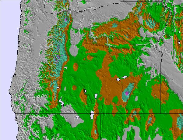
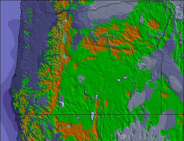
La tabla anterior muestra el pronóstico de tiempo para Cooper Spur en la altitud específica de 1400 m. Nuestros modelos meteorológicos sofisticados permiten prever pronósticos para la cumbre, la mitad y la base de Cooper Spur. Para aceder a los pronósticos de tiempo a otras alturas, pinche en la navegación en la parte superior de la tabla. Para una visión general, consulte el Mapa meteorológico de United States.
Pinche aquí para más información sobre niveles de congelación y sobre cómo pronosticamos las temperaturas.
Comentarios de Visitantes para Cooper Spur
Generalmente 2.6 En base a 3 votos y 6 comentarios
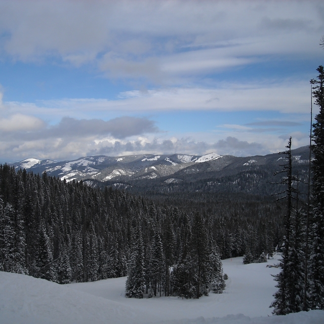
Have you been to Cooper Spur Mountain Resort lately? WOW ... what a nice little Pacific Northwest Resort!! There is a new management team with a very friendly staff. The Cabins, Condos and Lodge Rooms are clean and welcoming! The Restaurant is quaint with a roaring fire and good food!! The outdoor hot tubs are a plus for star-gazing :) The Ski and Tubing Area has had great snow this year and the Ski Lodge is a wonderful gathering place for friends and family. Lodging is available year-round for hikers and bikers as well. If you are looking for a wonderful pacific northwest experience or just looking to get out of Portland ... give them a try. 541-352-6692
Generalmente: 2.6 En base a 3 votos y 6 comentarios
Nieve segura
1.7
Variedad de pistas
2.0
Fuera de pista
1.5
Escenografía
3.3
Después del esquí
1.5
Ski Bunny de United States escribe:
Have you been to Cooper Spur Mountain Resort lately? WOW ... what a nice little Pacific Northwest Resort!! There is a new management team with a very friendly staff. The Cabins, Condos and Lodge Rooms are clean and welcoming! The Restaurant is quaint with a roaring fire and good food!! The outdoor hot tubs are a plus for star-gazing :) The Ski and Tubing Area has had great snow this year and the Ski Lodge is a wonderful gathering place for friends and family. Lodging is available year-round for hikers and bikers as well. If you are looking for a wonderful pacific northwest experience or just looking to get out of Portland ... give them a try. 541-352-6692
Gratis Snow-Forecast.com Widget del Tiempo para su sitio web
El widget del tiempo para esquiar para Cooper Spur está disponible para ser empotrado en sitios web externos sin costo alguno. Proporciona un resumen diario de nuestro pronóstico de nieve en Cooper Spur y estados de tiempo actuales. Vaya simplemente a la página para su configuración y siga los 3 pasos sencillos. Tome el código de transferencia del hipertexto y péguelo en su propio sitio web. Puede escoger la elevación en el pronóstico de nieve (cumbre, ascensor de medio-montaña o fondo) y unidades métrico/imperiales para el motor del pronóstico de nieve y convenir su propio website…. Click aquí para obtener el código


 Nearest