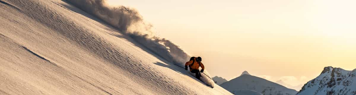
Previsión meteorológica para Chestnut Mountain en172m altitud
Emitido: 12 am 31 Jul 2026 (hora local)
Previsión de nieve actualizada en hora Min
View forecast
Chestnut Mountainat 172 m altitud
Emitido por Snow-Forescast.com a:12 am (hora local) / 31 Jul 2026
Últimos 6 díasDesplázate a la izquierda para los últimos 6 díasAhora
Next 4 days weather summary:
Fuerte lluvia (totál 67.0mm), más pesada durante la noche del viernes. Cálido (max 23°C el domingo por la tarde, min 16°C el sábado por la noche). El viento será generalmente ligero.
Días 5-7 Resúmen del Tiempo para Chestnut Mountain
Mayormente seco. Cálido (max 26°C el lunes por la tarde, min 14°C el lunes por la noche). El viento será generalmente ligero.
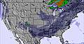
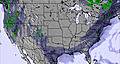
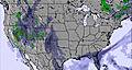
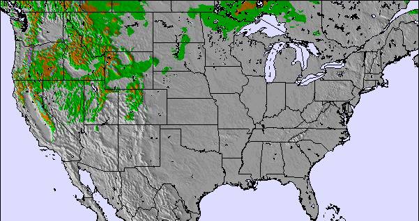
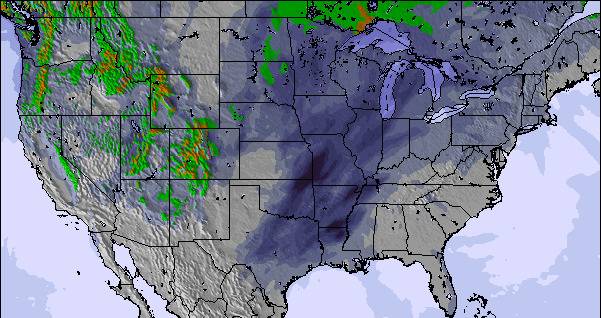
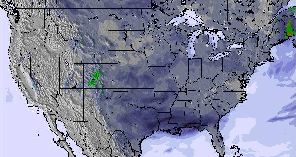
La tabla anterior muestra el pronóstico de tiempo para Chestnut Mountain en la altitud específica de 172 m. Nuestros modelos meteorológicos sofisticados permiten prever pronósticos para la cumbre, la mitad y la base de Chestnut Mountain. Para aceder a los pronósticos de tiempo a otras alturas, pinche en la navegación en la parte superior de la tabla. Para una visión general, consulte el Mapa meteorológico de United States.
Pinche aquí para más información sobre niveles de congelación y sobre cómo pronosticamos las temperaturas.
I was at Chestnut Mountain just once. It was the only resort I had close enough from work (Lena, IL). I ski there last Dec. 2nd 2008, and got the early season special "the date is the price" so I ski for $2 (cheapest I ever had).
First thing I can say is that the views of the Mississipi river are just amazing.
With a nice ski rental service and good lifts you can enjoy of the resort with no complain. The runs are short but, in some of the cases, real black ones. So even though it is a little resort, the well prepared runs have 100% snow making and lights. I could say it is a nice place to stop by if you are in the area, you'll get surprised.
Gratis Snow-Forecast.com Widget del Tiempo para su sitio web
El widget del tiempo para esquiar para Chestnut Mountain está disponible para ser empotrado en sitios web externos sin costo alguno. Proporciona un resumen diario de nuestro pronóstico de nieve en Chestnut Mountain y estados de tiempo actuales. Vaya simplemente a la página para su configuración y siga los 3 pasos sencillos. Tome el código de transferencia del hipertexto y péguelo en su propio sitio web. Puede escoger la elevación en el pronóstico de nieve (cumbre, ascensor de medio-montaña o fondo) y unidades métrico/imperiales para el motor del pronóstico de nieve y convenir su propio website…. Click aquí para obtener el código


 Nearest