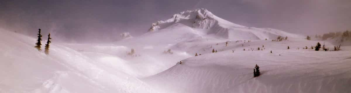


Portillo Re-Opens To Guests Arriving By Helicopter
Chile’s famous Portillo ski resort is reported to have re-opened to guests arriving by helicopter after being cut off by road for more than two weeks by over 6m/20 feet of snowfall.

Next 3 days weather summary:Fuerte lluvia (totál 23.0mm), más pesada durante la mañana de lunes. Cálido (max 23°C el miércoles por la tarde, min 11°C el lunes por la noche). Vientos decreciente (vientos fuertes desde el NO el lunes por la noche, calma por la noche de martes). | Días 4-6 Resúmen del Tiempo para Bretton WoodsLluvia moderada (totál 10.0mm), más pesada el viernes por la noche. Cálido (max 25°C el jueves por la tarde, min 18°C el viernes por la noche). El viento será generalmente ligero. | |||||||||||||||||
lunes 3 | martes 4 | miércoles 5 | jueves 6 | viernes 7 | sábado 8 | |||||||||||||
mañana | tarde | noche | mañana | tarde | noche | mañana | tarde | noche | mañana | tarde | noche | mañana | tarde | noche | mañana | tarde | noche | |
fuerte lluvia | lluvia mod. | chuba scos | claro | claro | claro | claro | nubl ado | semi nublado | semi nublado | claro | chuba scos | nubl ado | riesgo truenos | chuba scos | semi nublado | riesgo truenos | chuba scos | |
km/h | ||||||||||||||||||
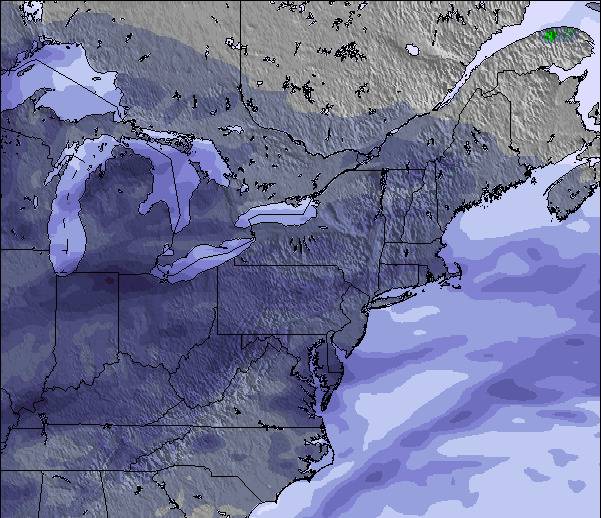
Mapa de Nieve |  |  |  |  |  |  | ||||||||||||
— | — | — | — | — | — | — | — | — | — | — | — | — | — | — | — | — | — | |
mm | 12 | 7 | 4 | — | — | — | — | — | — | — | — | 1 | — | 2 | 3 | — | 3 | 1 |
max °C | 18 | 19 | 13 | 17 | 20 | 19 | 21 | 23 | 20 | 22 | 25 | 23 | 23 | 24 | 20 | 20 | 20 | 20 |
min °C | 17 | 18 | 11 | 14 | 20 | 18 | 19 | 22 | 18 | 20 | 25 | 20 | 21 | 22 | 18 | 19 | 20 | 19 |
chill °C | 16 | 17 | 7 | 11 | 20 | 18 | 19 | 22 | 18 | 20 | 25 | 20 | 21 | 22 | 18 | 19 | 20 | 19 |
Humed. % | 91 | 99 | 81 | 52 | 41 | 45 | 39 | 43 | 54 | 49 | 52 | 80 | 70 | 77 | 85 | 81 | 81 | 80 |
Altura de Hielo m | 4600 | 4600 | 3700 | 4600 | 4850 | 4750 | 4800 | 4900 | 4900 | 4650 | 4700 | 4650 | 4650 | 4600 | 4450 | 4350 | 4300 | 4550 |
5:35 | — | — | 5:35 | — | — | 5:37 | — | — | 5:37 | — | — | 5:39 | — | — | 5:39 | — | — | |
— | — | 8:07 | — | — | 8:07 | — | — | 8:05 | — | — | 8:04 | — | — | 8:02 | — | — | 8:00 | |
Hazte pro y carve en:
Información de avalanchas: National Avalanche Center
Ultimo parte de nieve cerca Bretton Woods:
| Profundidad de nieve arriba: | 0 cm |
|---|---|
| Profundidad de nieve abajo: | 0 cm |
| Profundidad de la nevada fresca: | — |
| Última nevada: | 30 May 2026 |
0.0 | Dias de Nieve en Polvo Nieve fresca, mayormente soleado, viento suave. |
|---|---|
0.0 | Dias de nieve en polvo Nieve fresca, sol limitado, sin viento. |
0.0 | Dia perfecto para esquiar Nieve promedio, mayormente soleado, viento suave. |
La tabla anterior muestra el pronóstico de tiempo para Bretton Woods en la altitud específica de 945 m. Nuestros modelos meteorológicos sofisticados permiten prever pronósticos para la cumbre, la mitad y la base de Bretton Woods. Para aceder a los pronósticos de tiempo a otras alturas, pinche en la navegación en la parte superior de la tabla. Para una visión general, consulte el Mapa meteorológico de United States.
Pinche aquí para más información sobre niveles de congelación y sobre cómo pronosticamos las temperaturas.
Generalmente 3.5 En base a 13 votos y 2 comentarios
A name from the history books..the famous 1944 Conference was at Bretton Woods Hotel , down the road from the ski resort. It was also where "The Shining" was filmed. Bretton Woods is claimed to be the most snow sure of the New Hampshire ski resorts, there was certainly loads in March '05. Great ski school and brilliant facilities for kids. Lots of greens and blues , not much for the expert, but SOME challenging runs. Well run and not much queuing even at weekends. Awesome views of Mt Washington.Recommended!
The Snow Weasel de United Kingdom escribe:
A name from the history books..the famous 1944 Conference was at Bretton Woods Hotel , down the road from the ski resort. It was also where "The Shining" was filmed.
Bretton Woods is claimed to be the most snow sure of the New Hampshire ski resorts, there was certainly loads in March '05. Great ski school and brilliant facilities for kids. Lots of greens and blues , not much for the expert, but SOME challenging runs. Well run and not much queuing even at weekends. Awesome views of Mt Washington.Recommended!
Lea 1 otras críticas de Bretton Woods o entrega su propio comentario

 Nearest