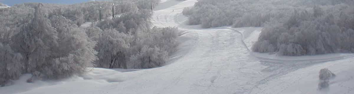


Portillo Re-Opens To Guests Arriving By Helicopter
Chile’s famous Portillo ski resort is reported to have re-opened to guests arriving by helicopter after being cut off by road for more than two weeks by over 6m/20 feet of snowfall.

Next 3 days weather summary:Lluvia moderada (totál 14.0mm), más pesada el miércoles por la noche. Cálido (max 24°C el lunes por la tarde, min 17°C el miércoles por la mañana). El viento será generalmente ligero. | Días 4-6 Resúmen del Tiempo para Bayrischzell/SudelfeldFuerte lluvia (totál 30.0mm), más pesada durante la noche de jueves. Cálido (max 20°C el jueves por la tarde, min 12°C el jueves por la noche). El viento será generalmente ligero. | |||||||||||||||||
lunes 3 | martes 4 | miércoles 5 | jueves 6 | viernes 7 | sábado 8 | |||||||||||||
mañana | tarde | noche | mañana | tarde | noche | mañana | tarde | noche | mañana | tarde | noche | mañana | tarde | noche | mañana | tarde | noche | |
claro | semi nublado | chuba scos | claro | semi nublado | chuba scos | chuba scos | claro | chuba scos | chuba scos | riesgo truenos | fuerte lluvia | llovizna | riesgo truenos | chuba scos | claro | nubl ado | claro | |
km/h | ||||||||||||||||||
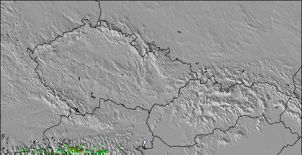
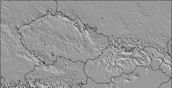
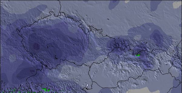
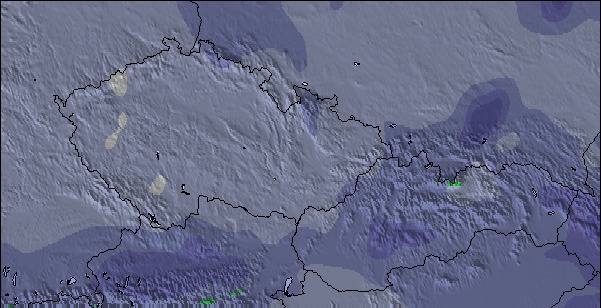
Mapa de Nieve |  |  |  |  |  |  | ||||||||||||
— | — | — | — | — | — | — | — | — | — | — | — | — | — | — | — | — | — | |
mm | — | — | 2 | — | — | 2 | 1 | — | 9 | 1 | 1 | 23 | 2 | 2 | 1 | — | — | — |
max °C | 22 | 24 | 22 | 21 | 23 | 23 | 18 | 21 | 21 | 18 | 20 | 17 | 12 | 14 | 14 | 14 | 17 | 16 |
min °C | 21 | 22 | 20 | 21 | 23 | 18 | 17 | 20 | 18 | 18 | 19 | 12 | 12 | 14 | 14 | 14 | 16 | 16 |
chill °C | 21 | 22 | 20 | 21 | 23 | 18 | 17 | 20 | 18 | 18 | 19 | 12 | 12 | 14 | 14 | 14 | 16 | 16 |
Humed. % | 45 | 43 | 40 | 45 | 44 | 62 | 72 | 57 | 69 | 71 | 63 | 93 | 93 | 84 | 77 | 75 | 63 | 63 |
Altura de Hielo m | 4450 | 4450 | 4550 | 4500 | 4600 | 4500 | 4400 | 4450 | 4400 | 4350 | 4350 | 3900 | 3850 | 4000 | 3900 | 3900 | 4000 | 4000 |
5:50 | — | — | 5:52 | — | — | 5:52 | — | — | 5:54 | — | — | 5:56 | — | — | 5:56 | — | — | |
— | — | 8:44 | — | — | 8:43 | — | — | 8:40 | — | — | 8:39 | — | — | 8:37 | — | — | 8:37 | |
Hazte pro y carve en:
Información de avalanchas: European Avalanche Warning Services (EAWS)
Ultimo parte de nieve cerca Bayrischzell/Sudelfeld:
| Profundidad de nieve arriba: | 0 cm |
|---|---|
| Profundidad de nieve abajo: | 0 cm |
| Profundidad de la nevada fresca: | — |
| Última nevada: | 16 May 2026 |
0.0 | Dias de Nieve en Polvo Nieve fresca, mayormente soleado, viento suave. |
|---|---|
0.0 | Dias de nieve en polvo Nieve fresca, sol limitado, sin viento. |
0.0 | Dia perfecto para esquiar Nieve promedio, mayormente soleado, viento suave. |
La tabla anterior muestra el pronóstico de tiempo para Bayrischzell/Sudelfeld en la altitud específica de 1564 m. Nuestros modelos meteorológicos sofisticados permiten prever pronósticos para la cumbre, la mitad y la base de Bayrischzell/Sudelfeld. Para aceder a los pronósticos de tiempo a otras alturas, pinche en la navegación en la parte superior de la tabla. Para una visión general, consulte el Mapa meteorológico de Germany.
Pinche aquí para más información sobre niveles de congelación y sobre cómo pronosticamos las temperaturas.
Generalmente 3.4 En base a 10 votos y 1 comentario
We live less than an hour from Bayrischzell/Sudelfed so it is our 'local' and is much loved. It is the perfect size for a day with a good variety of routes and off-piste. It is possible to get to Bayrischzell/Sudelfed from Munich with public transport to Bayrischzell but parking is much easier. I would recommend lunch at the Speck Alm. The only downside is it can get quite slushy at Bayrischzell/Sudelfed if temperatures drop so hope for cold.
Lisa de Germany escribe:
We live less than an hour from Bayrischzell/Sudelfed so it is our 'local' and is much loved. It is the perfect size for a day with a good variety of routes and off-piste.
It is possible to get to Bayrischzell/Sudelfed from Munich with public transport to Bayrischzell but parking is much easier. I would recommend lunch at the Speck Alm.
The only downside is it can get quite slushy at Bayrischzell/Sudelfed if temperatures drop so hope for cold.
Haz clic aquí para entregar su propio comentario de Bayrischzell/Sudelfeld

 Nearest