Templado con lluvia moderada (totál 16.0mm) el jueves por la tarde, Volviéndose más frío con una capa fina de nieve, cayendo mayormente el jueves por la noche. condiciones de congelación y descongelación (max 4°C el jueves por la mañana, min -2°C el viernes por la tarde). El viento será generalmente ligero.
Días 4-6 Resúmen del Tiempo para Anzère
Lluvia moderada (totál 12.0mm), heaviest el martes por la tarde dando paso a una moderada caída de nieve, más pesada el martes por la noche. condiciones de congelación y descongelación (max 5°C el martes por la mañana, min -2°C el domingo por la noche). El viento será generalmente ligero.
Light rain reported from Sion at 339 metres elevation only 2 kms NW of Veysonnaz-Printse but it is forecast cold enough for snow at higher elevations in the ski area desde Veysonnaz-Printse
13km lejos desde Anzère
Hace 9 hours
Light rain reported from Sion at 339 metres elevation 5 kms WNW of Thyon-Printze but it is forecast cold enough for snow at higher elevations in the ski area desde Thyon-Printze
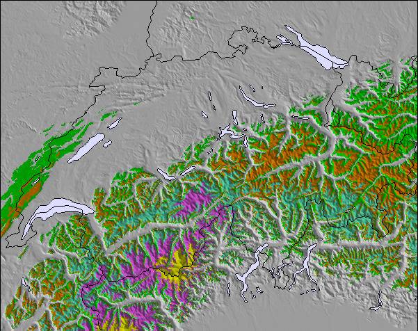
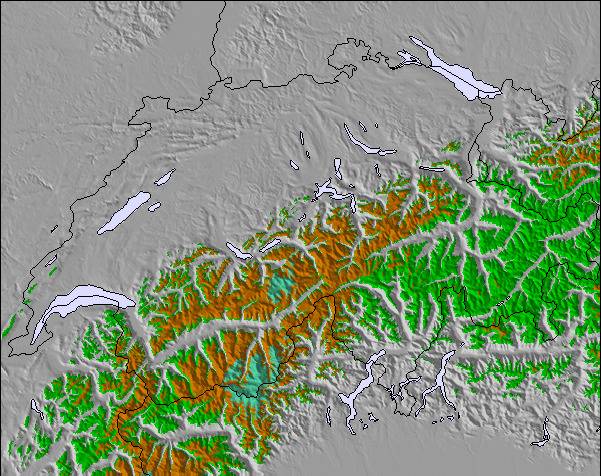
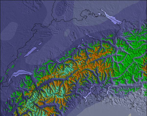
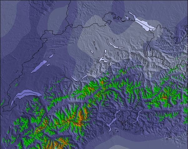
La tabla anterior muestra el pronóstico de tiempo para Anzère en la altitud específica de 1960 m. Nuestros modelos meteorológicos sofisticados permiten prever pronósticos para la cumbre, la mitad y la base de Anzère. Para aceder a los pronósticos de tiempo a otras alturas, pinche en la navegación en la parte superior de la tabla. Para una visión general, consulte el Mapa meteorológico de Switzerland.
Pinche aquí para más información sobre niveles de congelación y sobre cómo pronosticamos las temperaturas.
Nombre de la estación también escrito como Anzere.
Comentarios de Visitantes para Anzère
Generalmente 4.4 En base a 31 votos y 4 comentarios
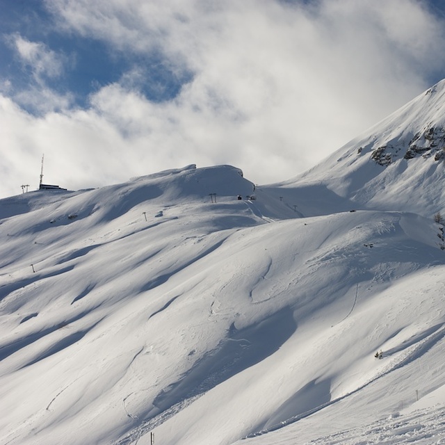
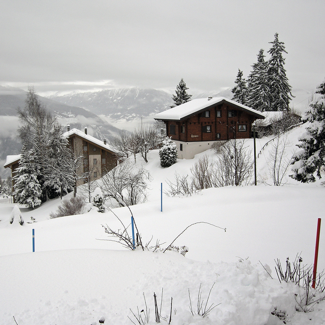
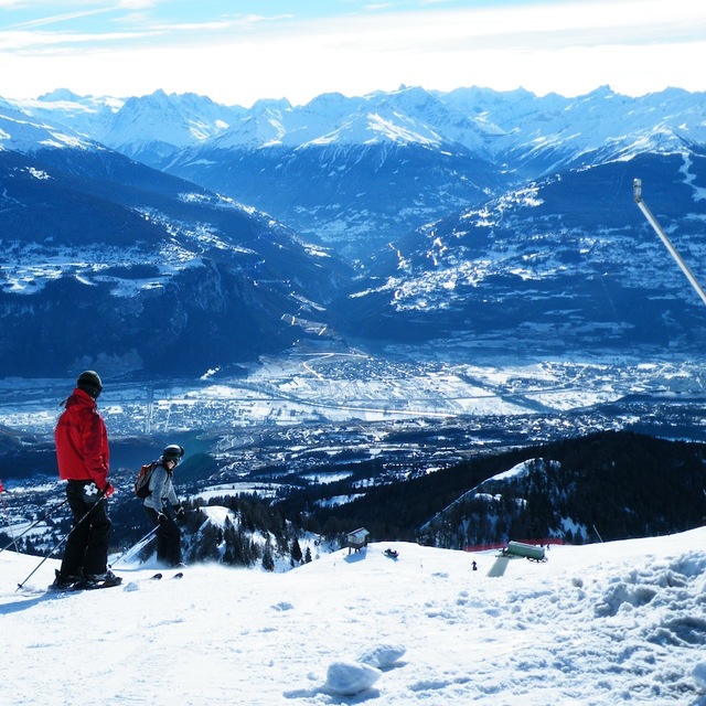
Don't bother visiting Anzere (Anzère), unless of course you enjoy uncrowded pistes, spectacular mountain views, tasty slopeside restaurants along with genuine Swiss hospitality.
While this small resort cannot boast the huge expanse of terrain of its bigger neighbours it does offer varied and interesting skiing for all abilities, particularly intermediate skiers / boarders.
If you hire a car there are literally 10s of nearby resorts to explore.
I normally stay in Hotel Zodiaque which is very reasonably priced and has a lively bar and friendly staff.
You have to walk about 5 minutes to the ski lift, or for the fat and lazy there is a free shuttle bus every few minutes, the upside is that you can ski back right up to the hotel door in all but the worst snow conditions.
It has taken me years to write this review because I want this resort to remain as it is an undiscovered gem.
John.
Generalmente: 4.4 En base a 31 votos y 4 comentarios
Nieve segura
4.1
Variedad de pistas
4.4
Fuera de pista
4.4
Escenografía
4.5
Después del esquí
4.0
John horgan de United Kingdom escribe:
Don't bother visiting Anzere (Anzère), unless of course you enjoy uncrowded pistes, spectacular mountain views, tasty slopeside restaurants along with genuine Swiss hospitality.
While this small resort cannot boast the huge expanse of terrain of its bigger neighbours it does offer varied and interesting skiing for all abilities, particularly intermediate skiers / boarders.
If you hire a car there are literally 10s of nearby resorts to explore.
I normally stay in Hotel Zodiaque which is very reasonably priced and has a lively bar and friendly staff.
You have to walk about 5 minutes to the ski lift, or for the fat and lazy there is a free shuttle bus every few minutes, the upside is that you can ski back right up to the hotel door in all but the worst snow conditions.
It has taken me years to write this review because I want this resort to remain as it is an undiscovered gem.
John.
Gratis Snow-Forecast.com Widget del Tiempo para su sitio web
El widget del tiempo para esquiar para Anzère está disponible para ser empotrado en sitios web externos sin costo alguno. Proporciona un resumen diario de nuestro pronóstico de nieve en Anzère y estados de tiempo actuales. Vaya simplemente a la página para su configuración y siga los 3 pasos sencillos. Tome el código de transferencia del hipertexto y péguelo en su propio sitio web. Puede escoger la elevación en el pronóstico de nieve (cumbre, ascensor de medio-montaña o fondo) y unidades métrico/imperiales para el motor del pronóstico de nieve y convenir su propio website…. Click aquí para obtener el código

 ski hire exclusive discount




 Snow
 Pronósticos de nieve por hora y a 16 días



 Registrarse o Iniciar sesion para acceder
 Subir nueva foto

 Nearest