

comScore pixel
estación de esquí nevada
Esquí Canada - BC

Pronóstico de Nieve para The Callaghan

50.19° N 123.18° W

Pronóstico de tiempo para The Callaghan a 1752 m altitud

Próxima nevada en The Callaghan:
6 cm el Mar 10
Emitido:
9 pm 09 Nov 2026 (hora local)
Previsión de nieve actualizada en:
 hora  Min
Últimos 6 díasDesplázate a la izquierda para los últimos 6 díasAhora
martes
10
miércoles
11
jueves
12
viernes
13
sábado
14
noche
mañana
tarde
noche
mañana
tarde
noche
mañana
tarde
noche
mañana
tarde
noche
mañana
tarde
noche
mod snow
light snow
mod snow
heavy snow
heavy rain
heavy rain
mod snow
mod snow
light snow
mod snow
light snow
light snow
light snow
cloud
light snow
light snow
nieve
mod.
nieve
ligera
nieve
mod.
mucha
nieve
fuerte
lluvia
fuerte
lluvia
nieve
mod.
nieve
mod.
nieve
ligera
nieve
mod.
nieve
ligera
nieve
ligera
nieve
ligera
nubl
ado
nieve
ligera
nieve
ligera
km/h
15
SSW
15
S
10
SSE
15
S
20
SSE
20
S
20
S
15
SSE
15
S
20
S
10
SE
5
ESE
5
ESE
5
SSE
10
SSE
10
SSE
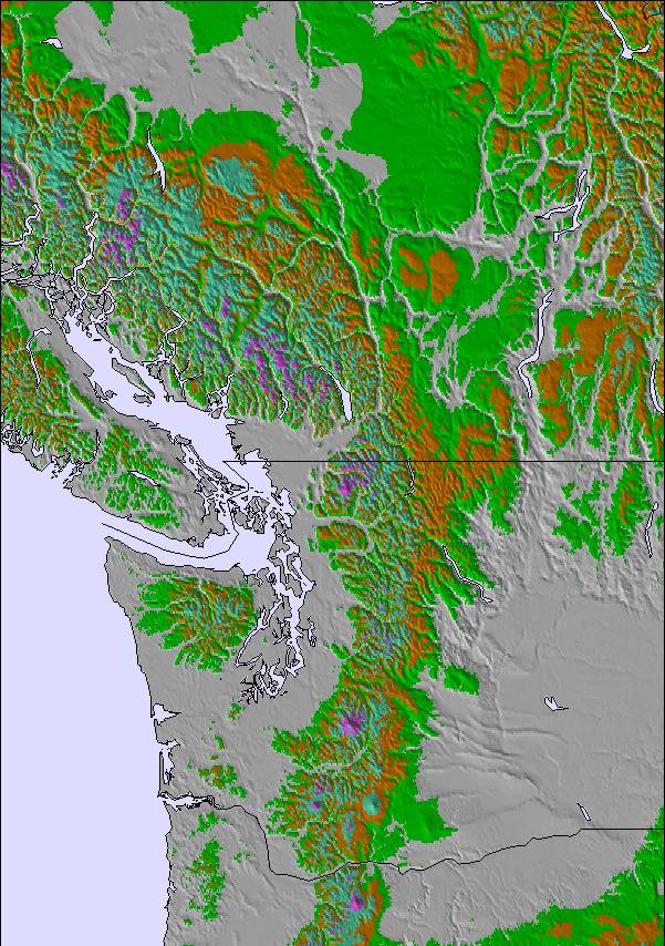
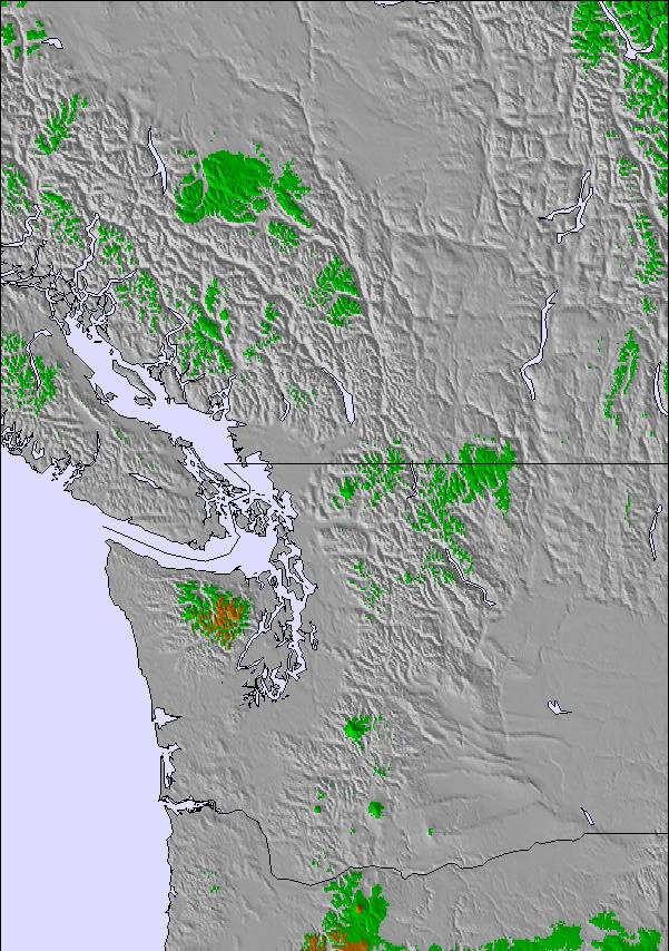
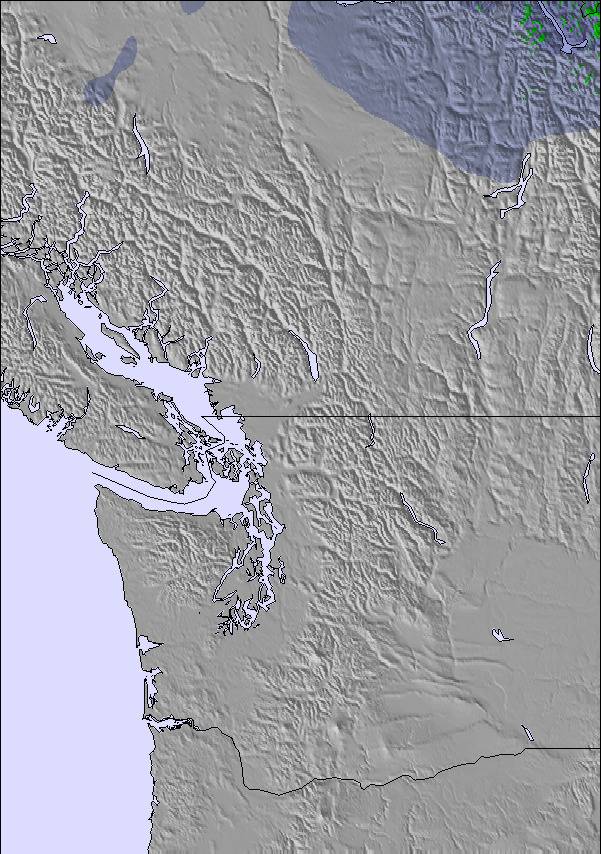
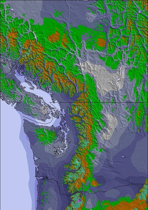
Mapa de
Nieve
Snow map
Snow map
Snow map
Snow map
Snow map
Snow map
Snowflake cm
6
3
6
24
—
—
8
8
—
7
1
1
4
—
—
2
 mm
—
—
—
—
25
21
35
9
3
—
—
—
—
—
—
—
max °C
-2
0
0
1
3
3
3
2
2
1
0
0
1
0
1
-1
min °C
-2
-1
0
1
2
3
2
1
2
0
0
0
-1
0
0
-2
 chill °C
-7
-5
-4
-2
-3
-2
-1
-3
-2
-5
-4
-2
-1
0
-4
-6
Humed. %
99
99
99
99
99
99
99
99
95
99
98
98
99
92
94
96
Altura de Hielo m
1450
1500
1700
2050
2400
2500
2350
2000
2150
1800
1800
1800
1800
1700
1850
1500
nivel del mar1000m2000m3000m4000m5000m
-5-3-2-111-1-1-1-3-2-2-3-3-3-51222555443322331
Salida</br>del sol
—
7:18
—
—
7:20
—
—
7:22
—
—
7:22
—
—
7:24
—
—
Puesta del sol
—
—
4:34
—
—
4:31
—
—
4:30
—
—
4:29
—
—
4:28
—

Next 4 days weather summary:

Fuerte lluvia (totál 93.0mm) el miércoles por la noche. Volviéndose más frío con una pesada caída de nieve, más pesada durante la noche de miércoles. condiciones de congelación y descongelación (max 3°C el miércoles por la mañana, min -2°C el lunes por la noche). El viento será generalmente ligero.

Días 5-7 Resúmen del Tiempo para The Callaghan

Pesada caída de nieve, más pesada durante la tarde de domingo. condiciones de congelación y descongelación (max 1°C el jueves por la noche, min -2°C el sábado por la noche). El viento será generalmente ligero.

  • Circle CheckPronósticos de nieve por hora y a 16 días
  • Circle CheckVer el tiempo pasado
  • Circle CheckNavegación rápida sin anuncios
  • Circle CheckRetro-pronóstico e Historial de nieve
Desbloquea la app y el sitio

Información de avalanchas: Avalanche Canada


Radar de nieve

Presentar el reporte Eyeball Reporter

Ultimo parte de nieve cerca The Callaghan:

  • 19 km lejos desde The Callaghan

    Hace 13 hours
    weather station observation

    Light rain reported from Whistler Airport at 325 metres elevation one km N of Whistler Blackcomb but it is forecast cold enough for snow at higher elevations in the ski area desde Whistler Blackcomb

  • 19 km lejos desde The Callaghan

    - Paddy Smyth whistler.tcHace 21 hours
    Eyeball reporter icon

    Colder this morning after a weekend of precipitation. Freezing to valley (barely). Sunny breaks with flurries in Alpine before next big system hits. Expect freezing level to rise. desde Whistler Blackcomb

Condiciones de Nieve en The Callaghan

Profundidad de nieve arriba:—
Profundidad de nieve abajo:—
Profundidad de la nevada fresca:59 cm
Última nevada: 8 Nov 2026
Otras estaciones en Canada - BC están reportando: Nieve en polvo (1) / buena pista (1)

Ofertas de socios de Snow-Forecast


Map placeholder