
comScore pixel
estación de esquí nevada
Esquí Italy

Pronóstico de Nieve para Ladurns

46.95° N 11.39° E

Pronóstico de tiempo para Ladurns a 2050 m altitud

Próxima nevada en Ladurns:
0.8 cm el Vie 13
Emitido:
12 am 13 Nov 2026 (hora local)
Previsión de nieve actualizada en:
 hora  Min
Últimos 6 díasDesplázate a la izquierda para los últimos 6 díasAhora
viernes
13
sábado
14
domingo
15
lunes
16
martes
17
noche
mañana
tarde
noche
mañana
tarde
noche
mañana
tarde
noche
mañana
tarde
noche
mañana
tarde
noche
light snow
light snow
part cloud
clear
clear
clear
part cloud
part cloud
part cloud
light snow
light snow
light snow
cloud
light snow
light snow
snow showers
nieve
ligera
nieve
ligera
semi
nublado
claro
claro
claro
semi
nublado
semi
nublado
semi
nublado
nieve
ligera
nieve
ligera
nieve
ligera
nubl
ado
nieve
ligera
nieve
ligera
neva­das
km/h
10
N
15
N
15
N
5
NNW
5
S
10
S
10
S
10
SSW
10
S
15
S
10
S
10
S
10
SSW
20
S
20
S
10
NNW
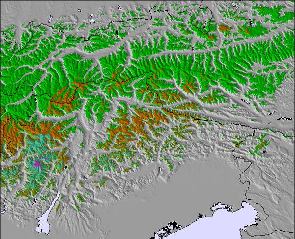
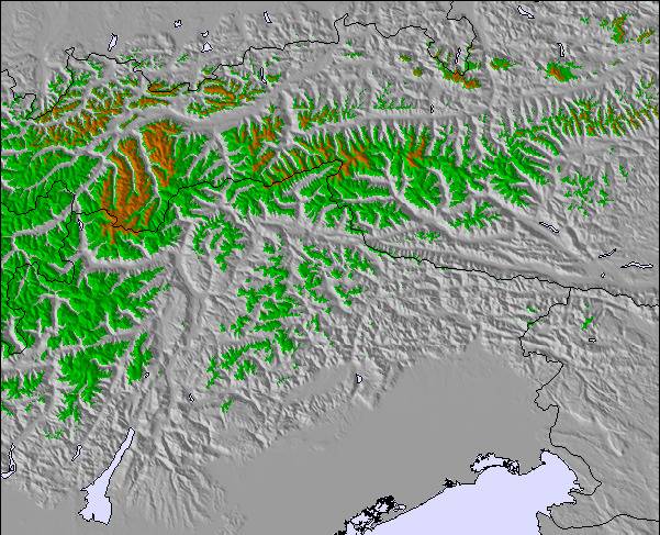
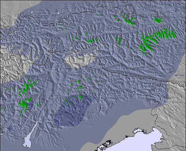
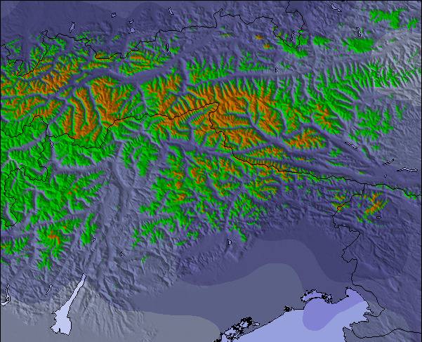
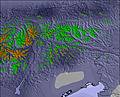
Mapa de
Nieve
Snow map
Snow map
Snow map
Snow map
Snow map
Snow map
Snowflake cm
4
1
—
—
—
—
—
—
—
1
—
—
—
—
1
5
 mm
5
—
—
—
—
—
—
—
—
—
—
—
—
—
—
—
max °C
3
-3
-3
-2
2
0
-2
0
0
-1
0
0
0
0
1
0
min °C
-2
-3
-5
-5
0
-2
-3
-1
-1
-2
-1
0
0
0
0
-3
 chill °C
-7
-8
-10
-9
-2
-6
-7
-4
-5
-7
-5
-3
-3
-5
-5
-7
Humed. %
98
81
52
36
24
29
72
77
84
96
96
95
81
91
98
96
Altura de Hielo m
2400
1450
1250
800
2100
2150
1300
1800
1950
1700
1950
2000
2000
2050
2000
1850
nivel del mar1000m2000m3000m4000m5000m
1-3-4-41-1-3-1-1-2-10001-252-3-451-1432442332
Salida</br>del sol
—
7:13
—
—
7:15
—
—
7:16
—
—
7:18
—
—
7:18
—
—
Puesta del sol
—
—
4:42
—
—
4:40
—
—
4:39
—
—
4:38
—
—
4:37
—

Next 4 days weather summary:

Lluvia ligera (totál 5.0mm) primero, volviéndose más frío con una espolvoreada de nieve el jueves por la noche. condiciones de congelación y descongelación (max 3°C el jueves por la noche, min -5°C el viernes por la tarde). El viento será generalmente ligero.

Días 5-7 Resúmen del Tiempo para Ladurns

Nueva capa fina de nieve, cayendo mayormente el martes por la noche. condiciones de congelación y descongelación (max 1°C el martes por la tarde, min -3°C el martes por la noche). El viento será generalmente ligero.

  • Circle CheckPronósticos de nieve por hora y a 16 días
  • Circle CheckVer el tiempo pasado
  • Circle CheckNavegación rápida sin anuncios
  • Circle CheckRetro-pronóstico e Historial de nieve
Desbloquea la app y el sitio

Información de avalanchas: European Avalanche Warning Services (EAWS)


Radar de nieve

Presentar el reporte Eyeball Reporter

Ultimo parte de nieve cerca Ladurns:

  • 31 km lejos desde Ladurns

    Hace 3 hours
    weather station observation

    Drizzle reported from Flughafen Innsbruck Automatic Weather Station at 593 metres elevation only 4 kms WNW of Muttereralm but it is forecast cold enough for snow at the ski area desde Muttereralm

  • 31 km lejos desde Ladurns

    Hace 4 hours
    weather station observation

    Light rain reported from Flughafen Innsbruck Automatic Weather Station at 593 metres elevation only 4 kms WNW of Muttereralm but it is forecast cold enough for snow at the ski area desde Muttereralm

  • 28 km lejos desde Ladurns

    Hace 9 hours
    weather station observation

    Light rain reported from Flughafen Innsbruck Automatic Weather Station at 593 metres elevation 8 kms NNE of Axamer Lizum but it is forecast cold enough for snow at higher elevations in the ski area desde Axamer Lizum

Condiciones de Nieve en Ladurns

Profundidad de nieve arriba:0 cm
Profundidad de nieve abajo:0 cm
Profundidad de la nevada fresca:—
Última nevada:24 Oct 2026
Otras estaciones en Italy están reportando: Nieve en polvo (0) / buena pista (0)

Ofertas de socios de Snow-Forecast

Historial de nevadas

Semana 2 of November tiene en promedio:

0.6
Dias de Nieve en Polvo
Nieve fresca, mayormente soleado, viento suave.
0.6
Dias de nieve en polvo
Nieve fresca, sol limitado, sin viento.
0.2
Dia perfecto para esquiar
Nieve promedio, mayormente soleado, viento suave.

Map placeholder