comScore pixel
Navega sin anuncios con SnowPro
Nieve de la estación de esquí Crans Montana
Esquí Switzerland

Crans Montana Pronósticos de Nieve a 16 días

46.28° N 7.41° E

Pronóstico de tiempo para Crans Montana a 3000 m altitud

Próxima nevada en Crans Montana:
1.3 cm el Lun 9
Emitido:
12 pm 07 Nov 2026 (hora local)
Previsión de nieve actualizada en:
 hora  Min
Últimos 6 díasDesplázate a la izquierda para los últimos 6 díasAhora
sábado
7
domingo
8
lunes
9
martes
10
miércoles
11
jueves
12
viernes
13
sábado
14
domingo
15
lunes
16
martes
17
miércoles
18
jueves
19
viernes
20
sábado
21
dom
22
mañana
tarde
noche
mañana
tarde
noche
mañana
tarde
noche
mañana
tarde
noche
mañana
tarde
noche
mañana
tarde
noche
mañana
tarde
noche
mañana
tarde
noche
mañana
tarde
noche
mañana
tarde
noche
mañana
tarde
noche
mañana
tarde
noche
mañana
tarde
noche
mañana
tarde
noche
mañana
tarde
noche
mañana
tarde
part cloud
part cloud
part cloud
cloud
part cloud
part cloud
cloud
cloud
light snow
light snow
snow showers
part cloud
part cloud
part cloud
light snow
light snow
light snow
light snow
light snow
light snow
snow showers
clear
clear
clear
clear
clear
clear
part cloud
clear
clear
part cloud
part cloud
light snow
light snow
mod snow
light snow
mod snow
light snow
light snow
mod snow
snow showers
snow showers
snow showers
light snow
light snow
light snow
light snow
semi
nublado
semi
nublado
semi
nublado
nubl
ado
semi
nublado
semi
nublado
nubl
ado
nubl
ado
nieve
ligera
nieve
ligera
neva­das
semi
nublado
semi
nublado
semi
nublado
nieve
ligera
nieve
ligera
nieve
ligera
nieve
ligera
nieve
ligera
nieve
ligera
neva­das
claro
claro
claro
claro
claro
claro
semi
nublado
claro
claro
semi
nublado
semi
nublado
nieve
ligera
nieve
ligera
nieve
mod.
nieve
ligera
nieve
mod.
nieve
ligera
nieve
ligera
nieve
mod.
neva­das
neva­das
neva­das
nieve
ligera
nieve
ligera
nieve
ligera
nieve
ligera
km/h
5
SSW
10
WSW
10
WSW
10
SW
15
WSW
10
WSW
15
WSW
15
SW
10
WSW
10
W
10
W
5
W
10
SW
10
SW
10
S
10
SW
5
W
10
NW
5
NW
10
WNW
10
N
5
SE
5
W
5
NNW
5
NNE
5
N
5
N
10
N
10
NNW
5
N
10
W
15
SW
20
SSW
25
SSW
20
WSW
25
WSW
30
W
25
WSW
25
SW
30
WSW
35
WSW
25
WSW
25
SW
15
W
10
WNW
10
NW
10
NNW
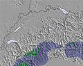
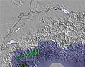
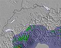
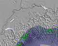
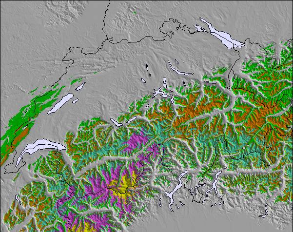
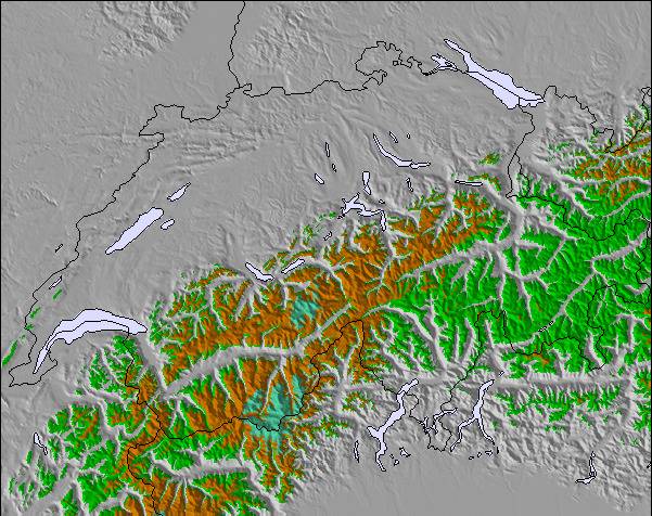
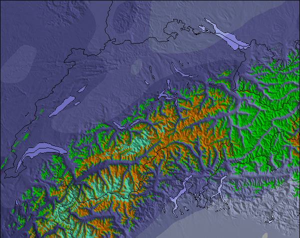
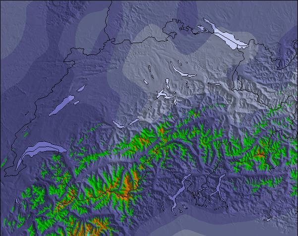
Mapa de
Nieve
Snow map
Snow map
Snow map
Snow map
Snow map
Snow map
Snow map
Snow map
Snow map
Snow map
Snow map
Snow map
Snow map
Snow map
Snow map
Snow map
Snowflake cm
—
—
—
—
—
—
—
—
4
—
—
—
—
—
—
—
—
—
—
1
—
—
—
—
—
—
—
—
—
—
—
—
1
3
9
4
5
—
3
6
—
—
—
2
—
—
—
 mm
—
—
—
—
—
—
—
—
—
—
—
—
—
—
—
—
—
—
—
—
—
—
—
—
—
—
—
—
—
—
—
—
—
—
—
—
—
—
—
—
—
—
—
—
—
—
—
max °C
-5
-5
-5
-7
-6
-4
-2
-2
-1
-1
-1
0
1
0
-1
-1
-2
-2
-3
-3
-3
-2
-4
-5
-5
-4
-4
-4
-4
-1
0
0
0
-3
-4
-5
-9
-5
-1
0
-1
-5
-6
-8
-10
-11
-10
min °C
-5
-5
-6
-7
-6
-6
-3
-3
-1
-1
-1
0
0
0
-1
-1
-2
-3
-3
-4
-5
-3
-5
-6
-5
-5
-5
-4
-4
-3
-2
0
-3
-4
-4
-8
-9
-8
-2
0
-4
-7
-8
-9
-12
-11
-11
 chill °C
-7
-9
-10
-11
-12
-11
-7
-8
-5
-4
-5
-2
-3
-3
-4
-5
-4
-6
-6
-8
-9
-5
-9
-9
-5
-5
-7
-8
-7
-6
-5
-4
-9
-11
-10
-17
-18
-16
-8
-7
-11
-16
-14
-16
-18
-16
-16
Humed. %
73
47
22
75
93
58
58
91
98
77
94
75
62
81
98
98
98
95
99
97
13
4
27
79
36
39
22
11
13
12
10
12
10
94
98
96
95
84
59
96
84
94
66
95
83
91
93
Altura de Hielo m
2000
2250
1450
1900
2050
1600
2450
2550
2550
2800
2850
3050
3100
2950
2750
2750
2750
2600
2500
2450
1750
2450
2350
1850
2150
2250
1800
2150
2300
1900
2600
3050
3050
1950
1900
1900
1650
1650
2200
3000
2650
1800
1900
1700
1200
1200
1400
nivel del mar1000m2000m3000m4000m5000m
-5-5-6-7-6-5-3-3-1-1-1010-1-1-2-3-3-4-4-3-5-6-5-5-5-4-4-2-10-2-4-4-7-9-7-20-3-6-7-9-11-11-1143-242-164266487577664063153-14206301011-1-133121-3-2-2
Salida</br>del sol
7:18
—
—
7:20
—
—
7:22
—
—
7:22
—
—
7:24
—
—
7:26
—
—
7:28
—
—
7:28
—
—
7:31
—
—
7:31
—
—
7:33
—
—
7:35
—
—
7:35
—
—
7:37
—
—
7:39
—
—
7:39
—
Puesta del sol
—
5:07
—
—
5:06
—
—
5:05
—
—
5:04
—
—
5:01
—
—
5:00
—
—
5:00
—
—
4:59
—
—
4:58
—
—
4:57
—
—
4:55
—
—
4:54
—
—
4:53
—
—
4:52
—
—
4:52
—
—
4:51

Next 3 days weather summary:

Nueva espolvoreada de nieve. Temperaturas serán bajo cero (max -1°C el lunes por la noche, min -7°C el domingo por la mañana). El viento será generalmente ligero.

Días 4-6 Resúmen del Tiempo para Crans Montana

Nueva espolvoreada de nieve. condiciones de congelación y descongelación (max 1°C el miércoles por la mañana, min -3°C el jueves por la noche). El viento será generalmente ligero.

Días 7-9 Resúmen del Tiempo para Crans Montana

Mayormente seco. Temperaturas serán bajo cero (max -2°C el sábado por la mañana, min -6°C el sábado por la noche). El viento será generalmente ligero.

Días 10-12 Resúmen del Tiempo para Crans Montana

Pesada caída de nieve, más pesada durante la tarde de miércoles. Temperaturas serán bajo cero (max 0°C el martes por la mañana, min -9°C el jueves por la mañana). Vientos crecientes (calma el lunes por la noche, vientos frescos desde el O por la mañana de jueves).

Días 13-16 Resúmen del Tiempo para Crans Montana

Caída moderada de nieve, más pesada el viernes por la mañana. Temperaturas serán bajo cero (max 0°C el viernes por la mañana, min -12°C el sábado por la noche). Vientos decreciente (vientos fuertes desde el OSO el viernes por la mañana, calma por la noche de domingo).

Información de avalanchas: European Avalanche Warning Services (EAWS)

Radar de nieve

Presentar el reporte Eyeball Reporter

Ultimo parte de nieve cerca Crans Montana:

  • 11 km lejos desde Crans Montana

    Hace 10 hours
    weather station observation

    Light rain reported from Sion Airport at 481 metres elevation only 2 kms NW of Veysonnaz-Printse but it is forecast cold enough for snow at higher elevations in the ski area desde Veysonnaz-Printse

  • 11 km lejos desde Crans Montana

    Hace 14 hours
    weather station observation

    Light rain reported from Sion at 339 metres elevation only 2 kms NW of Veysonnaz-Printse but it is forecast cold enough for snow at higher elevations in the ski area desde Veysonnaz-Printse

Condiciones de Nieve en Crans Montana

Profundidad de nieve arriba:—
Profundidad de nieve abajo:—
Profundidad de la nevada fresca:15 cm
Última nevada: 6 Nov 2026
Otras estaciones en Switzerland están reportando: Nieve en polvo (1) / buena pista (3)

Ofertas de socios de Snow-Forecast

Historial de nevadas

Semana 1 of November tiene en promedio:

1.0
Dias de Nieve en Polvo
Nieve fresca, mayormente soleado, viento suave.
1.5
Dias de nieve en polvo
Nieve fresca, sol limitado, sin viento.
2.2
Dia perfecto para esquiar
Nieve promedio, mayormente soleado, viento suave.

Fotos de Crans Montana

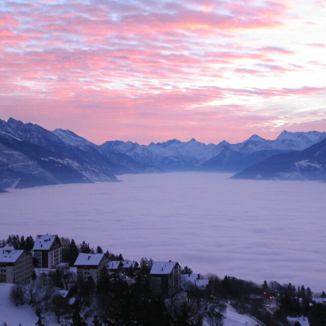
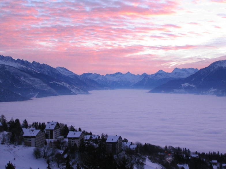
  • View of the Rhone Valley from Crans Montana

    View of the Rhone Valley from Crans Montana by lynn

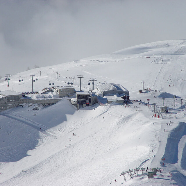
  • Crans Montana

    Crans Montana by Somnus

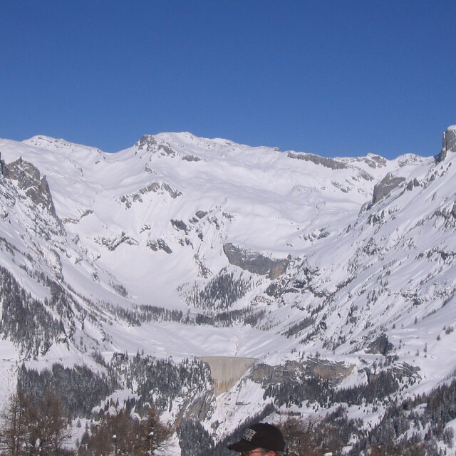
  • Crans Montana

    Crans Montana by lynn

Map placeholder
Otras estaciones en Switzerland están reportando: Nieve en polvo (1) / buena pista (3)

La tabla anterior muestra el pronóstico de tiempo para Crans Montana en la altitud específica de 3000 m. Nuestros modelos meteorológicos sofisticados permiten prever pronósticos para la cumbre, la mitad y la base de Crans Montana. Para aceder a los pronósticos de tiempo a otras alturas, pinche en la navegación en la parte superior de la tabla. Para una visión general, consulte el Mapa meteorológico de Switzerland.

Pinche aquí para más información sobre niveles de congelación y sobre cómo pronosticamos las temperaturas.

Comentarios de Visitantes para Crans Montana

Generalmente 3.9 En base a 34 votos y 16 comentarios

  • Nieve segura 3.8
  • Variedad de pistas 4.3
  • Voto
  • dave liddle de United Kingdom escribe:

    We have owned an apartment here for the past 6 years and been coming a few times every year since. My son learned to ski here and is now 12 and very proficient. The resort has everything; great runs, great restaurants and cool bars like Amadeus and Zero Dix. That said the apres-ski and night life is not like some of the Austrian resorts and is much more reserved. The views and a beer at Amadeus overlooking the valley is something to look forward to every year. We enjoy this resort and it is improving each year with new faster lifts and restaurants. There are also no queues like France and most of the other more popular resorts. It is a great place!

Comentarios de Visitantes para Crans Montana

Generalmente: 3.9 En base a 34 votos y 16 comentarios

  • Nieve segura
    3.8
  • Variedad de pistas
    4.3
  • Fuera de pista
    3.6
  • Escenografía
    4.4
  • Después del esquí
    3.8

dave liddle de United Kingdom escribe:

We have owned an apartment here for the past 6 years and been coming a few times every year since. My son learned to ski here and is now 12 and very proficient. The resort has everything; great runs, great restaurants and cool bars like Amadeus and Zero Dix. That said the apres-ski and night life is not like some of the Austrian resorts and is much more reserved. The views and a beer at Amadeus overlooking the valley is something to look forward to every year. We enjoy this resort and it is improving each year with new faster lifts and restaurants. There are also no queues like France and most of the other more popular resorts. It is a great place!

Lea 15 otras críticas de Crans Montana o entrega su propio comentario

Gratis Snow-Forecast.com Widget del Tiempo para su sitio web

El widget del tiempo para esquiar para Crans Montana está disponible para ser empotrado en sitios web externos sin costo alguno. Proporciona un resumen diario de nuestro pronóstico de nieve en Crans Montana y estados de tiempo actuales. Vaya simplemente a la página para su configuración y siga los 3 pasos sencillos. Tome el código de transferencia del hipertexto y péguelo en su propio sitio web. Puede escoger la elevación en el pronóstico de nieve (cumbre, ascensor de medio-montaña o fondo) y unidades métrico/imperiales para el motor del pronóstico de nieve y convenir su propio website…. Click aquí para obtener el código

View the full Crans Montana forecast at Snow-Forecast.com