

Portillo Storm Snowfall Total Passes 5m / 17 Feet
A snow storm that has now continued for nine days has taken Chilean ski resort Portillo to a snowfall total of 5.2 metres (17 feet) so far, with more snow forecast.

Next 3 days weather summary:Fuerte lluvia (totál 31.0mm), más pesada durante la noche de sábado. Cálido (max 28°C el viernes por la tarde, min 18°C el jueves por la mañana). El viento será generalmente ligero. | Días 4-6 Resúmen del Tiempo para Blue MountainLluvia ligera (totál 4.0mm), cayendo mayormente el domingo por la mañana. Cálido (max 26°C el martes por la tarde, min 13°C el domingo por la noche). El viento será generalmente ligero. | |||||||||||||||||
jueves 30 | viernes 31 | sábado 1 | domingo 2 | lunes 3 | martes 4 | |||||||||||||
mañana | tarde | noche | mañana | tarde | noche | mañana | tarde | noche | mañana | tarde | noche | mañana | tarde | noche | mañana | tarde | noche | |
claro | claro | claro | claro | semi nublado | llovizna | riesgo truenos | llovizna | fuerte lluvia | llovizna | semi nublado | claro | claro | claro | claro | claro | semi nublado | claro | |
km/h | ||||||||||||||||||
Mapa de Nieve |  |  |  |  |  |  | ||||||||||||
— | — | — | — | — | — | — | — | — | — | — | — | — | — | — | — | — | — | |
mm | — | — | — | — | — | 3 | 3 | 4 | 21 | 4 | — | — | — | — | — | — | — | — |
max °C | 21 | 23 | 20 | 26 | 28 | 24 | 23 | 24 | 20 | 18 | 20 | 19 | 20 | 23 | 19 | 22 | 26 | 22 |
min °C | 18 | 22 | 18 | 20 | 26 | 19 | 20 | 22 | 18 | 17 | 18 | 13 | 15 | 23 | 15 | 17 | 25 | 18 |
chill °C | 18 | 22 | 18 | 20 | 26 | 19 | 20 | 22 | 18 | 17 | 18 | 12 | 14 | 23 | 15 | 17 | 25 | 18 |
Humed. % | 58 | 43 | 54 | 42 | 52 | 77 | 76 | 80 | 97 | 95 | 70 | 76 | 46 | 48 | 66 | 52 | 45 | 93 |
Altura de Hielo m | 4100 | 4100 | 4150 | 4050 | 4200 | 4250 | 4050 | 4000 | 3850 | 3800 | 3850 | 4000 | 4300 | 4400 | 4450 | 4350 | 4400 | 4450 |
6:03 | — | — | 6:05 | — | — | 6:07 | — | — | 6:07 | — | — | 6:09 | — | — | 6:09 | — | — | |
— | — | 8:47 | — | — | 8:46 | — | — | 8:45 | — | — | 8:45 | — | — | 8:43 | — | — | 8:42 | |
Hazte pro y carve en:
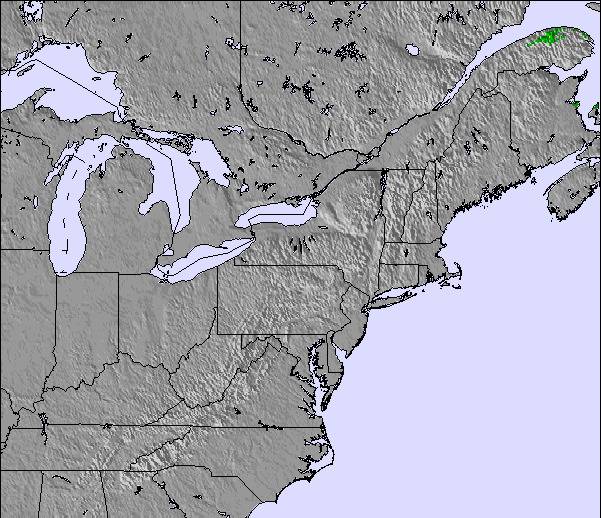
Información de avalanchas: Avalanche Canada
Ultimo parte de nieve cerca Blue Mountain:
| Profundidad de nieve arriba: | 0 cm |
|---|---|
| Profundidad de nieve abajo: | 0 cm |
| Profundidad de la nevada fresca: | — |
| Última nevada: | 10 Apr 2026 |
0.0 | Dias de Nieve en Polvo Nieve fresca, mayormente soleado, viento suave. |
|---|---|
0.0 | Dias de nieve en polvo Nieve fresca, sol limitado, sin viento. |
0.0 | Dia perfecto para esquiar Nieve promedio, mayormente soleado, viento suave. |

La tabla anterior muestra el pronóstico de tiempo para Blue Mountain en la altitud específica de 230 m. Nuestros modelos meteorológicos sofisticados permiten prever pronósticos para la cumbre, la mitad y la base de Blue Mountain. Para aceder a los pronósticos de tiempo a otras alturas, pinche en la navegación en la parte superior de la tabla. Para una visión general, consulte el Mapa meteorológico de Canada.
Pinche aquí para más información sobre niveles de congelación y sobre cómo pronosticamos las temperaturas.
Generalmente 3.6 En base a 18 votos y 2 comentarios
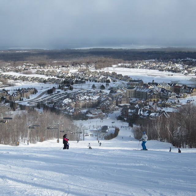
Overall good resort. Nothing compared to big places out east and west but it is probably best and biggest in Ontario. Good variety of terrain, although all the steeps are very short. If it's your first time there you will love it, if you've been to a bigger place you will think it is average. Nuff said
Patrick de Canada escribe:
Overall good resort. Nothing compared to big places out east and west but it is probably best and biggest in Ontario. Good variety of terrain, although all the steeps are very short. If it's your first time there you will love it, if you've been to a bigger place you will think it is average. Nuff said
Lea 1 otras críticas de Blue Mountain o entrega su propio comentario

 Nearest