

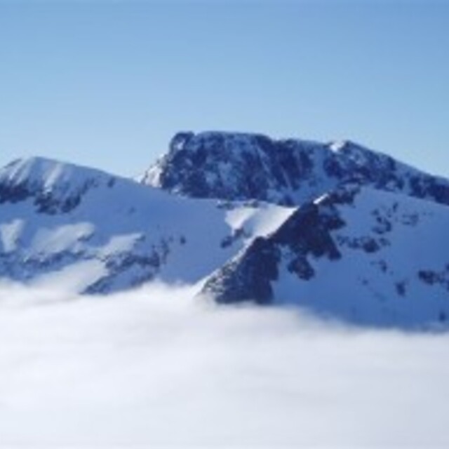
Global Weekly Snow Roundup #314
Weekly Global Snow News, updated 14 May 2026: Fresh snowfall in Argentina, Australia and Lesotho signals winter’s approach, while Japan maintains the world’s deepest snowpack.

Next 4 days weather summary:Fuerte lluvia (totál 21.0mm), más pesada durante la noche de sábado. condiciones de congelación y descongelación (max 7°C el lunes por la tarde, min 0°C el viernes por la noche). El viento será generalmente ligero. | Days 5-7 weather summary:Fuerte lluvia (totál 23.0mm), más pesada durante la mañana de jueves. Muy templado (max 11°C el jueves por la tarde, min 4°C el lunes por la noche). El viento será generalmente ligero. | |||||||||||||||
Saturday 16 | Sunday 17 | Monday 18 | Tuesday 19 | Wednesday 20 | ||||||||||||
noche | mañana | tarde | noche | mañana | tarde | noche | mañana | tarde | noche | mañana | tarde | noche | mañana | tarde | noche | |
semi nublado | nubl ado | llovizna | nevadas | llovizna | chuba scos | llovizna | llovizna | chuba scos | llovizna | llovizna | llovizna | llovizna | chuba scos | nubl ado | llovizna | |
km/h | ||||||||||||||||
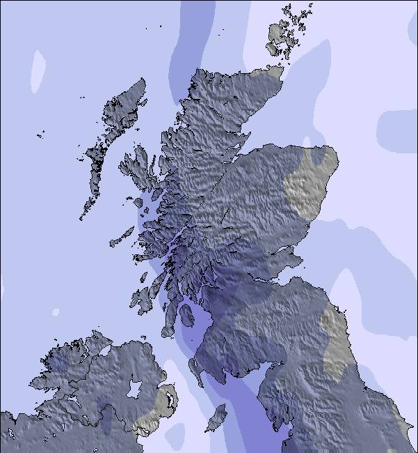
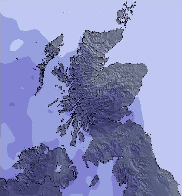
Snow map | 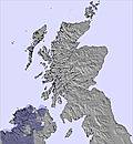 |  | 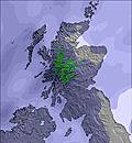 | 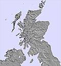 | 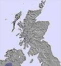 | 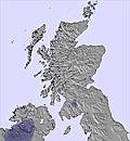 | ||||||||||
— | — | — | — | — | — | — | — | — | — | — | — | — | — | — | — | |
— | — | 2 | 4 | 3 | 3 | 4 | 2 | 3 | 2 | 3 | 1 | 4 | 1 | — | 2 | |
max °C | 1 | 5 | 5 | 3 | 4 | 5 | 3 | 6 | 7 | 6 | 5 | 6 | 5 | 8 | 9 | 8 |
min °C | 0 | 2 | 3 | 2 | 3 | 4 | 3 | 5 | 7 | 4 | 5 | 6 | 5 | 6 | 8 | 7 |
0 | 2 | 0 | -2 | -1 | 0 | 1 | 3 | 5 | 0 | 1 | 6 | 2 | 2 | 5 | 4 | |
80 | 65 | 64 | 95 | 85 | 76 | 93 | 77 | 71 | 86 | 94 | 94 | 99 | 77 | 63 | 89 | |
650 | 900 | 1200 | 1050 | 1050 | 1150 | 1150 | 1200 | 1450 | 1400 | 1350 | 1600 | 1600 | 1300 | 1700 | 2400 | |
— | 5:01 | — | — | 4:58 | — | — | 4:56 | — | — | 4:56 | — | — | 4:54 | — | — | |
— | — | 9:31 | — | — | 9:34 | — | — | 9:36 | — | — | 9:37 | — | — | 9:38 | — | |
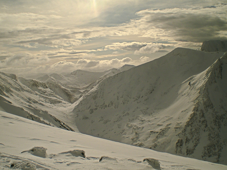
Ultimo parte de nieve cerca Nevis Range:
| Profundidad de nieve arriba: | — |
|---|---|
| Profundidad de nieve abajo: | — |
| Profundidad de la nevada fresca: | — |
| Última nevada: | 12 May 2026 |
0.0 | Dias de Nieve en Polvo Nieve fresca, mayormente soleado, viento suave. |
|---|---|
0.0 | Dias de nieve en polvo Nieve fresca, sol limitado, sin viento. |
0.0 | Dia perfecto para esquiar Nieve promedio, mayormente soleado, viento suave. |
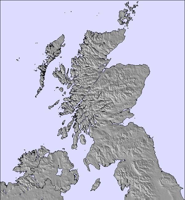
La tabla anterior muestra el pronóstico de tiempo para Nevis Range en la altitud específica de 656 m. Nuestros modelos meteorológicos sofisticados permiten prever pronósticos para la cumbre, la mitad y la base de Nevis Range. Para aceder a los pronósticos de tiempo a otras alturas, pinche en la navegación en la parte superior de la tabla. Para una visión general, consulte el Mapa meteorológico de United Kingdom.
Pinche aquí para más información sobre niveles de congelación y sobre cómo pronosticamos las temperaturas.
Generalmente 3.1 En base a 24 votos y 14 comentarios
Had a great time on Wednesday 25 February 2015; a mountain full of snow with plenty to go at. Great hire board and boots (new this season) and great food on the slopes. Wish we could have stayed longer. Will be back; would like to explore the back areas when it is safe to do so.
Ian chick de United Kingdom escribe:
Had a great time on Wednesday 25 February 2015; a mountain full of snow with plenty to go at. Great hire board and boots (new this season) and great food on the slopes. Wish we could have stayed longer. Will be back; would like to explore the back areas when it is safe to do so.
Lea 13 otras críticas de Nevis Range o entrega su propio comentario


 Nearest