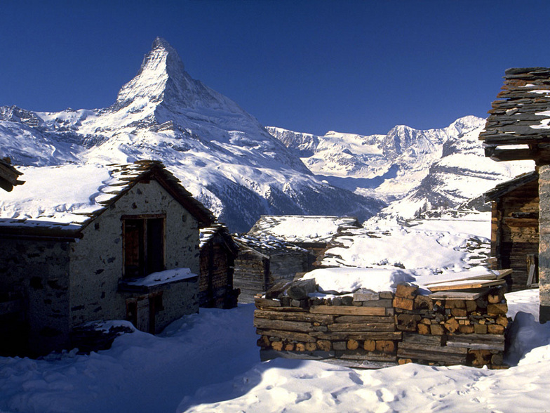


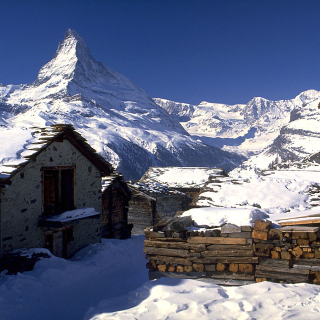
Global Weekly Snow Roundup #314
Weekly Global Snow News, updated 14 May 2026: Fresh snowfall in Argentina, Australia and Lesotho signals winter’s approach, while Japan maintains the world’s deepest snowpack.

Next 3 days weather summary:Caída moderada de nieve, más pesada el sábado por la mañana. Volviéndose templado con lluvia moderada (totál 12.0mm), heaviest el lunes por la tarde. condiciones de congelación y descongelación (max 7°C el lunes por la tarde, min -3°C el sábado por la mañana). El viento será generalmente ligero. | Days 4-6 weather summary:Lluvia moderada (totál 17.0mm), más pesada el martes por la noche. Muy templado (max 11°C el jueves por la tarde, min 2°C el martes por la mañana). El viento será generalmente ligero. | |||||||||||||||||
Saturday 16 | Sunday 17 | Monday 18 | Tuesday 19 | Wednesday 20 | Thursday 21 | |||||||||||||
mañana | tarde | noche | mañana | tarde | noche | mañana | tarde | noche | mañana | tarde | noche | mañana | tarde | noche | mañana | tarde | noche | |
nieve mod. | nieve ligera | nevadas | claro | claro | semi nublado | chuba scos | riesgo true- nos | nieve ligera | semi nublado | llovizna | llovizna | llovizna | llovizna | llovizna | chuba scos | chuba scos | chuba scos | |
km/h | ||||||||||||||||||
Snow map |  |  |  |  |  |  | ||||||||||||
7 | 1 | — | — | — | — | — | — | 2 | — | — | — | — | — | — | — | — | — | |
— | — | — | — | — | — | 1 | 5 | 6 | — | 1 | 3 | 3 | 2 | 4 | 2 | 1 | 1 | |
max °C | -2 | -1 | 0 | 1 | 5 | 5 | 6 | 7 | 5 | 4 | 7 | 7 | 6 | 8 | 8 | 7 | 11 | 9 |
min °C | -3 | -2 | -1 | 0 | 3 | 4 | 4 | 7 | 1 | 2 | 6 | 4 | 5 | 6 | 6 | 7 | 11 | 8 |
-8 | -5 | -3 | 0 | 3 | 4 | 3 | 6 | -1 | 2 | 6 | 3 | 3 | 4 | 4 | 5 | 9 | 8 | |
99 | 97 | 91 | 78 | 66 | 66 | 68 | 75 | 97 | 74 | 64 | 99 | 85 | 74 | 86 | 79 | 62 | 73 | |
1300 | 1600 | 1500 | 1850 | 2300 | 2350 | 2400 | 2550 | 1950 | 2350 | 2600 | 2400 | 2600 | 2750 | 2700 | 2800 | 2900 | 3150 | |
5:31 | — | — | 5:31 | — | — | 5:30 | — | — | 5:28 | — | — | 5:28 | — | — | 5:26 | — | — | |
— | — | 8:40 | — | — | 8:42 | — | — | 8:43 | — | — | 8:45 | — | — | 8:45 | — | — | 8:46 | |
Ultimo parte de nieve cerca St Johann in Tirol:
| Profundidad de nieve arriba: | — |
|---|---|
| Profundidad de nieve abajo: | — |
| Profundidad de la nevada fresca: | 11 cm |
| Última nevada: | 15 May 2026 |
0.0 | Dias de Nieve en Polvo Nieve fresca, mayormente soleado, viento suave. |
|---|---|
0.3 | Dias de nieve en polvo Nieve fresca, sol limitado, sin viento. |
0.0 | Dia perfecto para esquiar Nieve promedio, mayormente soleado, viento suave. |
La tabla anterior muestra el pronóstico de tiempo para St Johann in Tirol en la altitud específica de 1700 m. Nuestros modelos meteorológicos sofisticados permiten prever pronósticos para la cumbre, la mitad y la base de St Johann in Tirol. Para aceder a los pronósticos de tiempo a otras alturas, pinche en la navegación en la parte superior de la tabla. Para una visión general, consulte el Mapa meteorológico de Austria.
Pinche aquí para más información sobre niveles de congelación y sobre cómo pronosticamos las temperaturas.
Generalmente 4.3 En base a 21 votos y 15 comentarios
Spent a week in St Johann in early January 2014. Weather was unusually warm so the snow wasn't great with some runs closed. It's a nice friendly village which is great for families as it's not full of mad apres-ski. My kids were in the red ski school which they did not enjoy because their instructor, an Australian lady, was not up to the same standard as instructors they've had on previous visits to other resorts in Austria.
Robert Galligan de Ireland escribe:
Spent a week in St Johann in early January 2014. Weather was unusually warm so the snow wasn't great with some runs closed. It's a nice friendly village which is great for families as it's not full of mad apres-ski. My kids were in the red ski school which they did not enjoy because their instructor, an Australian lady, was not up to the same standard as instructors they've had on previous visits to other resorts in Austria.
Lea 14 otras críticas de St Johann in Tirol o entrega su propio comentario


 Nearest