


View forecast
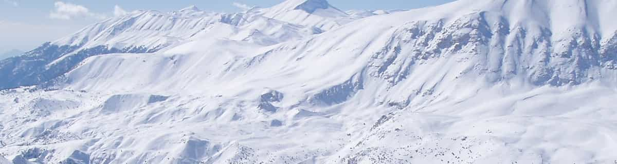
Champorcher at 1450 m altitud
Emitido por Snow-Forescast.com a: 7 am (hora local) / 26 Apr 2024
Now
Friday 26 | Saturday 27 | Sunday 28 | Monday 29 | Tuesday 30 | Wednesday 1 | Thursday 2 | |||||||||||||||
mañana | tarde | noche | mañana | tarde | noche | mañana | tarde | noche | mañana | tarde | noche | mañana | tarde | noche | mañana | tarde | noche | mañana | tarde | noche | |
nieve ligera | nieve ligera | nieve ligera | nieve ligera | llovizna | lluvia mod. | lluvia mod. | llovizna | semi nublado | nubl ado | chuba scos | llovizna | llovizna | llovizna | fuerte lluvia | fuerte lluvia | fuerte lluvia | fuerte lluvia | nubl ado | chuba scos | fuerte lluvia | |
km/h | |||||||||||||||||||||
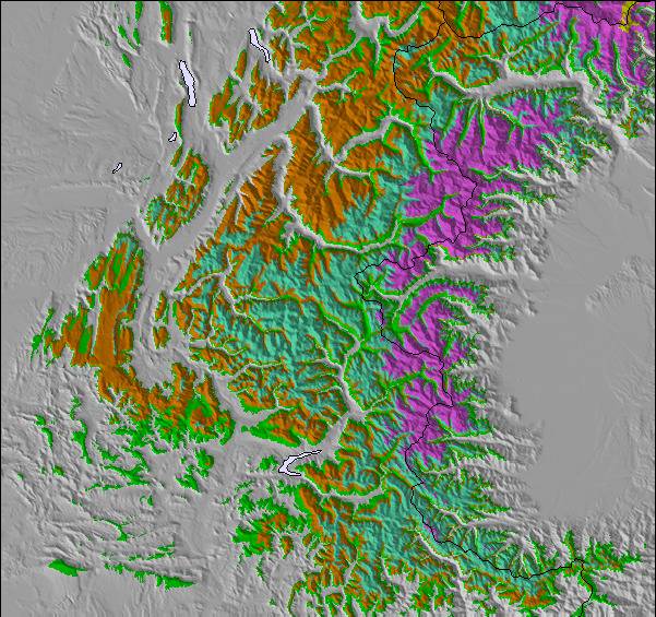
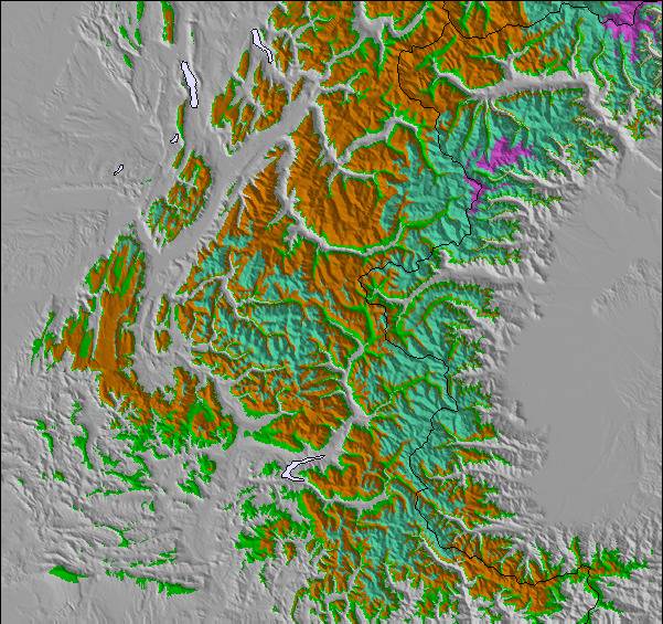
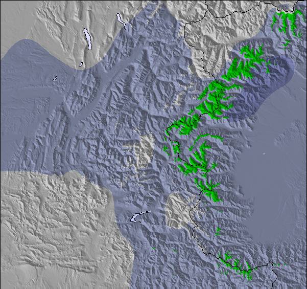
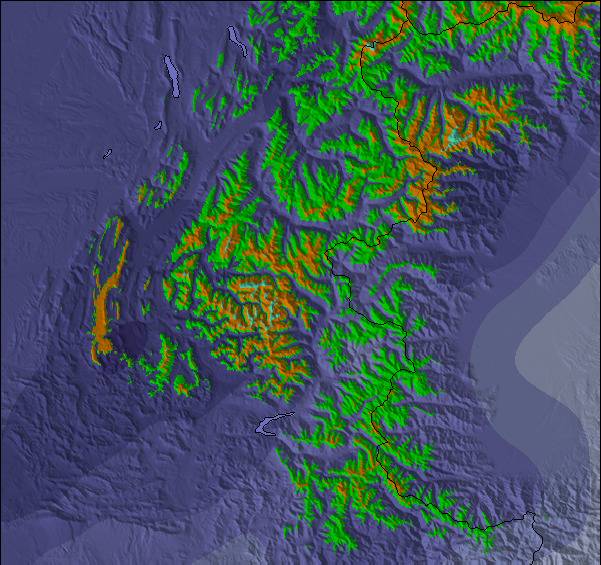
Snow map |  |  |  |  |  |  |  | ||||||||||||||
cm | 2.0 | 1.0 | 2.0 | 1.0 | — | — | — | — | — | — | — | — | — | — | — | — | — | — | — | — | — |
mm | — | — | — | — | 2.0 | 7 | 10 | 3 | — | — | 1.0 | 2.0 | 2.0 | 5 | 11 | 12 | 17 | 15 | — | 3 | 18 |
max°C | 1 | 1 | 1 | 2 | 3 | 2 | 3 | 5 | 4 | 7 | 9 | 7 | 8 | 10 | 8 | 4 | 5 | 5 | 7 | 8 | 6 |
min°C | 0 | 1 | 0 | 1 | 2 | 2 | 2 | 3 | 2 | 4 | 9 | 6 | 6 | 9 | 5 | 4 | 5 | 4 | 5 | 7 | 4 |
chill°C | 0 | -1 | 0 | -1 | 0 | 0 | 1 | 1 | 2 | 4 | 8 | 6 | 6 | 9 | 3 | 3 | 4 | 3 | 5 | 6 | 4 |
Humed.% | 91 | 96 | 98 | 96 | 99 | 97 | 100 | 97 | 81 | 80 | 83 | 69 | 85 | 79 | 84 | 92 | 96 | 95 | 84 | 93 | 93 |
Altura de Hielo (m) | 1600 | 1650 | 1500 | 1700 | 1900 | 2000 | 2100 | 2300 | 2250 | 2550 | 2650 | 2600 | 2700 | 2700 | 2550 | 2400 | 2400 | 2400 | 2500 | 2600 | 2400 |
6:24 | — | — | 6:22 | — | — | 6:20 | — | — | 6:18 | — | — | 6:18 | — | — | 6:16 | — | — | 6:15 | — | — | |
— | — | 8:30 | — | — | 8:30 | — | — | 8:32 | — | — | 8:34 | — | — | 8:35 | — | — | 8:36 | — | — | 8:37 | |
Proximo 0 - 3 dias resumen del clima:
Nueva capa fina de nieve, cayendo mayormente el viernes por la mañana que será derretido por la fuerte lluvia (totál 22.0mm) el domingo por la mañana. condiciones de congelación y descongelación (max 5°C el domingo por la tarde, min 0°C el viernes por la mañana). El viento será generalmente ligero.
Proximo 4 - 6 dias resumen del clima:
Fuerte lluvia (totál 65.0mm), más pesada durante la tarde de miércoles. Muy templado (max 10°C el martes por la tarde, min 4°C el lunes por la mañana). El viento será generalmente ligero.
Popular Champorcher Pages
Radar de nieve
Presentar el reporteUltimo parte de nieve cerca Champorcher:
28 km lejos desde Champorcher
Hace 2 hour
Light rain reported from Aosta Airport at 546 metres elevation 5 kms NE of Pila but it is forecast cold enough for snow at the ski area desde Pila
Condiciones de Nieve en Champorcher
| Profundidad de nieve arriba: | — |
|---|---|
| Profundidad de nieve abajo: | — |
| Profundidad de la nevada fresca: | 2 cm |
| Última nevada: | 25 Apr 2024 |
Otras estaciones en Italy están reportando: Nieve en polvo (0) / buena pista (0)
Ofertas de socios de Snow-Forecast
Show your business here
Historial de nevadas
Semana 4 of April tiene en promedio:
0.0 | Dias de Nieve en Polvo Nieve fresca, mayormente soleado, viento suave. |
|---|---|
0.1 | Dias de nieve en polvo Nieve fresca, sol limitado, sin viento. |
0.0 | Dia perfecto para esquiar Nieve promedio, mayormente soleado, viento suave. |

Pronostico de nevada en Champorcher
Otras estaciones en Italy están reportando: Nieve en polvo (0) / buena pista (0)
La tabla anterior muestra el pronóstico de tiempo para Champorcher en la altitud específica de 1450 m. Nuestros modelos meteorológicos sofisticados permiten prever pronósticos para la cumbre, la mitad y la base de Champorcher. Para aceder a los pronósticos de tiempo a otras alturas, pinche en la navegación en la parte superior de la tabla. Para una visión general, consulte el Mapa meteorológico de Italy.
Pinche aquí para más información sobre niveles de congelación y sobre cómo pronosticamos las temperaturas.
Comentarios de Visitantes para Champorcher
Generalmente 3.9 En base a 3 votos y 1 comentario
- Nieve segura
- Variedad de pistas
- Voto
- David Legget de United Kingdom escribe:
We visited Champorcher in February of 2019 just for the day. The drive up from Pont St Martin is really nice and the Valley really lovely. The Cable Car is 5 minutes on from Champorcher at Chardoney and is an attractive old village with a few bars and a couple of hotels. Unfortunately, the snowfall was less than recent years and upon arrival we noticed a few runs were closed including the long black down to Chardoney which looked quite testing from our view going up in the old gondola. With a few of the runs being closed we expected slushy and pretty basic skiing to be had but were really surprised. It was a Saturday and quite busy with day trippers and school ski clubs but basically just used the 2 lifts up after the gondola. The resort is, basically, a big bowl though very pretty and the skiing was quite challenging and steeper than we had expected and the snow was pretty good. Only a couple of canteen style restaurants to be had but plenty to keep any visitors busy for a weekend or 3 day break and i'd imagine very good for families. There is a long piste set aside also for ski tourers up past the Rifugio Dondena that would be great to try if we'd have had time. But would certainly recommend a weekend without hesitation. We stayed just outside of Champorcher in the bed and breakfast: De Grand Maman run by the very friendly Massimiliano which again we would recommend without hesitation.
Comentarios de Visitantes para Champorcher
David Legget de United Kingdom escribe:
We visited Champorcher in February of 2019 just for the day. The drive up from Pont St Martin is really nice and the Valley really lovely. The Cable Car is 5 minutes on from Champorcher at Chardoney and is an attractive old village with a few bars and a couple of hotels. Unfortunately, the snowfall was less than recent years and upon arrival we noticed a few runs were closed including the long black down to Chardoney which looked quite testing from our view going up in the old gondola. With a few of the runs being closed we expected slushy and pretty basic skiing to be had but were really surprised. It was a Saturday and quite busy with day trippers and school ski clubs but basically just used the 2 lifts up after the gondola. The resort is, basically, a big bowl though very pretty and the skiing was quite challenging and steeper than we had expected and the snow was pretty good. Only a couple of canteen style restaurants to be had but plenty to keep any visitors busy for a weekend or 3 day break and i'd imagine very good for families. There is a long piste set aside also for ski tourers up past the Rifugio Dondena that would be great to try if we'd have had time. But would certainly recommend a weekend without hesitation. We stayed just outside of Champorcher in the bed and breakfast: De Grand Maman run by the very friendly Massimiliano which again we would recommend without hesitation.
Haz clic aquí para entregar su propio comentario de Champorcher
Gratis Snow-Forecast.com Widget del Tiempo para su sitio web
El widget del tiempo para esquiar para Champorcher está disponible para ser empotrado en sitios web externos sin costo alguno. Proporciona un resumen diario de nuestro pronóstico de nieve en Champorcher y estados de tiempo actuales. Vaya simplemente a la página para su configuración y siga los 3 pasos sencillos. Tome el código de transferencia del hipertexto y péguelo en su propio sitio web. Puede escoger la elevación en el pronóstico de nieve (cumbre, ascensor de medio-montaña o fondo) y unidades métrico/imperiales para el motor del pronóstico de nieve y convenir su propio website…. Click aquí para obtener el código
Panorama detallado del Pronóstico de Nieve para Champorcher en:
snow-forecast.com

 Nearest