


View forecast
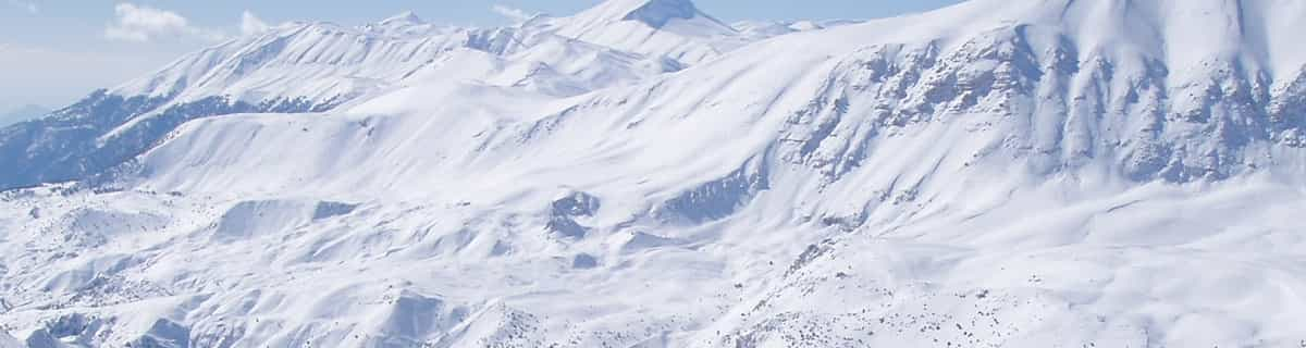
Lungötz at 814 m altitud
Emitido por Snow-Forescast.com a: 7 pm (hora local) / 24 Apr 2024
Now
Thursday 25 | Friday 26 | Saturday 27 | Sunday 28 | Monday 29 | Tuesday 30 | ||||||||||||||
noche | mañana | tarde | noche | mañana | tarde | noche | mañana | tarde | noche | mañana | tarde | noche | mañana | tarde | noche | mañana | tarde | noche | |
nieve ligera | nubl ado | llovizna | chuba scos | claro | llovizna | chuba scos | claro | semi nublado | semi nublado | semi nublado | semi nublado | semi nublado | semi nublado | claro | claro | claro | claro | semi nublado | |
km/h | |||||||||||||||||||
Snow map |  |  |  |  |  |  |  | ||||||||||||
cm | 2.0 | — | — | — | — | — | — | — | — | — | — | — | — | — | — | — | — | — | — |
mm | — | — | 3 | 1.0 | — | 1.0 | 1.0 | — | — | — | — | — | — | — | — | — | — | — | — |
max°C | 2 | 4 | 6 | 3 | 7 | 10 | 6 | 10 | 12 | 8 | 13 | 16 | 12 | 17 | 20 | 15 | 19 | 21 | 16 |
min°C | -1 | 1 | 5 | -1 | 3 | 9 | 2 | 5 | 12 | 6 | 8 | 16 | 9 | 12 | 20 | 11 | 14 | 21 | 10 |
chill°C | -1 | 1 | 5 | -4 | 1 | 9 | 0 | 3 | 11 | 4 | 6 | 16 | 7 | 12 | 20 | 10 | 13 | 21 | 9 |
Humed.% | 94 | 72 | 78 | 92 | 69 | 62 | 89 | 67 | 61 | 91 | 65 | 62 | 86 | 50 | 41 | 68 | 33 | 34 | 76 |
Altura de Hielo (m) | 750 | 1350 | 1650 | 750 | 1850 | 2100 | 1200 | 2300 | 2400 | 2400 | 3200 | 3500 | 3550 | 3400 | 3400 | 3450 | 3350 | 3250 | 3250 |
— | 6:00 | — | — | 5:58 | — | — | 5:56 | — | — | 5:54 | — | — | 5:52 | — | — | 5:50 | — | — | |
— | — | — | 8:09 | — | — | 8:10 | — | — | 8:13 | — | — | 8:14 | — | — | 8:15 | — | — | 8:16 | |
Proximo 0 - 3 dias resumen del clima:
Espolvoreada de nieve pasando a lluvia ligera (totál 6.0mm) el jueves por la tarde. condiciones de congelación y descongelación (max 12°C el sábado por la tarde, min -1°C el miércoles por la noche). El viento será generalmente ligero.
Proximo 4 - 6 dias resumen del clima:
Mayormente seco. Cálido (max 21°C el martes por la tarde, min 6°C el sábado por la noche). El viento será generalmente ligero.
Popular Lungötz Pages
Radar de nieve
Presentar el reporteUltimo parte de nieve cerca Lungötz:
5 km lejos desde Lungötz
Hace 1 hour
Rain reported from Bischofshofen at 550 metres elevation 6 kms NW of Wagrain but it is forecast cold enough for snow at the ski area desde Wagrain
24 km lejos desde Lungötz
Hace 1 hourRain reported from Obertauern (automatic) at 1742 metres elevation one km N of Obertauern but it is forecast cold enough for snow at the ski area desde Obertauern
40 km lejos desde Lungötz
Hace 2 hourLight rain showers reported from Katschberg at 1637 metres elevation one km NNE of Katschberg-Aineck but it is forecast cold enough for snow at the ski area desde Katschberg-Aineck
Condiciones de Nieve en Lungötz
| Profundidad de nieve arriba: | — |
|---|---|
| Profundidad de nieve abajo: | — |
| Profundidad de la nevada fresca: | 5 cm |
| Última nevada: | 23 Apr 2024 |
Otras estaciones en Austria están reportando: Nieve en polvo (5) / buena pista (5)
Ofertas de socios de Snow-Forecast
Show your business here
Historial de nevadas
Semana 4 of April tiene en promedio:
0.0 | Dias de Nieve en Polvo Nieve fresca, mayormente soleado, viento suave. |
|---|---|
0.0 | Dias de nieve en polvo Nieve fresca, sol limitado, sin viento. |
0.0 | Dia perfecto para esquiar Nieve promedio, mayormente soleado, viento suave. |
Pronostico de nevada en Lungötz


Otras estaciones en Austria están reportando: Nieve en polvo (5) / buena pista (5)
La tabla anterior muestra el pronóstico de tiempo para Lungötz en la altitud específica de 814 m. Nuestros modelos meteorológicos sofisticados permiten prever pronósticos para la cumbre, la mitad y la base de Lungötz. Para aceder a los pronósticos de tiempo a otras alturas, pinche en la navegación en la parte superior de la tabla. Para una visión general, consulte el Mapa meteorológico de Austria.
Pinche aquí para más información sobre niveles de congelación y sobre cómo pronosticamos las temperaturas.
Nombre de la estación también escrito como Lungotz.
Comentarios de Visitantes para Lungötz
- Louise Dunn de Austria escribe:
Annaberg (Annaberg-Lungötz) is a quaint village adjoined to the Dachstein West Ski Region which has over 140 km of groomed slopes connecting it to the villages of Russbach & Gosau. The ski area is quite stunning with views of the Hoher Dachstein, at 3004m, and it's glacier and lake below. It has a new ski school and slopes to suit people of all abilities. A family friendly resort which offers some superb off-piste, border parks & 130km of cross-country ski trails. This ski area is a hidden gem to which many visitors return year after year.
Comentarios de Visitantes para Lungötz
Louise Dunn de Austria escribe:
Annaberg (Annaberg-Lungötz) is a quaint village adjoined to the Dachstein West Ski Region which has over 140 km of groomed slopes connecting it to the villages of Russbach & Gosau. The ski area is quite stunning with views of the Hoher Dachstein, at 3004m, and it's glacier and lake below. It has a new ski school and slopes to suit people of all abilities. A family friendly resort which offers some superb off-piste, border parks & 130km of cross-country ski trails. This ski area is a hidden gem to which many visitors return year after year.
Gratis Snow-Forecast.com Widget del Tiempo para su sitio web
El widget del tiempo para esquiar para Lungötz está disponible para ser empotrado en sitios web externos sin costo alguno. Proporciona un resumen diario de nuestro pronóstico de nieve en Lungötz y estados de tiempo actuales. Vaya simplemente a la página para su configuración y siga los 3 pasos sencillos. Tome el código de transferencia del hipertexto y péguelo en su propio sitio web. Puede escoger la elevación en el pronóstico de nieve (cumbre, ascensor de medio-montaña o fondo) y unidades métrico/imperiales para el motor del pronóstico de nieve y convenir su propio website…. Click aquí para obtener el código
Panorama detallado del Pronóstico de Nieve para Lungötz en:
snow-forecast.com

 Nearest